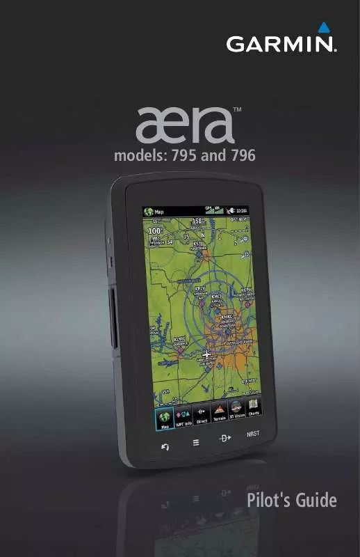
User manual GARMIN AERA 796 PILOT'S GUIDE
Lastmanuals offers a socially driven service of sharing, storing and searching manuals related to use of hardware and software : user guide, owner's manual, quick start guide, technical datasheets... DON'T FORGET : ALWAYS READ THE USER GUIDE BEFORE BUYING !!!
If this document matches the user guide, instructions manual or user manual, feature sets, schematics you are looking for, download it now. Lastmanuals provides you a fast and easy access to the user manual GARMIN AERA 796. We hope that this GARMIN AERA 796 user guide will be useful to you.
Lastmanuals help download the user guide GARMIN AERA 796.
You may also download the following manuals related to this product:
Manual abstract: user guide GARMIN AERA 796PILOT'S GUIDE
Detailed instructions for use are in the User's Guide.
[. . . ] TM
models: 795 and 796
Pilot's Guide
OVERVIEW
GPS NAVIGATION
FLIGHT PLANNING
HAZARD AVOIDANCE
ADDITIONAL FEATURES
APPENDICES
INDEX
Copyright © 2011 Garmin Ltd. All rights reserved.
This manual reflects the operation of System Software version 0002. 0 or later. Some differences in operation may be observed when comparing the information in this manual to earlier or later software versions.
Garmin International, Inc. , 1200 East 151st Street, Olathe, Kansas 66062, U. S. A. Tel: 913/397. 8200 Fax: 913/397. 8282 Garmin AT, Inc. , 2345 Turner Road SE, Salem, OR 97302, U. S. A. [. . . ] Precipitation intensity is displayed using colors corresponding to the dBZ values.
Hazard Avoidance
Flight Planning
RADAR Legend
NEXRAD Data
Additional Features Index Appendices
SATELLITE MOSAIC
Satellite Mosaic displays infrared composite images of cloud cover taken by geostationary weather satellites. The Satellite Mosaic provides up to seven levels of cloud cover.
RADAR Legend
Satellite Mosaic/Cloud Tops Data
82
Garmin aera 795/796 Pilot's Guide
190-01194-00 Rev. A
Hazard Avoidance
ECHO TOPS
Echo Tops are derived from NEXRAD radar and indicate the highest altitude at which precipitation is falling. Echo Tops at or above the altitude you select are displayed, in 5, 000 foot increments up to 70, 000 ft. Echo Tops can be helpful in determining the severity of thunderstorms.
Overview GPS Navigation Flight Planning
Echo Tops Data
Echo Tops Altitudes
WINDS ALOFT
Winds Aloft data shows the forecasted wind speed and direction at the surface and at selected altitudes. Altitudes can be displayed in 3, 000-foot increments up to 42, 000 feet MSL. Winds Aloft are displayed using wind barbs or a wind streamline depending on the selected range. The wind barbs indicate wind speed and direction. The wind streamline indicates wind direction with arrows. The wind barbs always point in the direction that the wind is coming from. The wind speed is depicted using flags at the end of the wind barb. A short wind flag is 5 knots, a long wind flag is 10 knots, and a triangle flag is 50 knots.
Hazard Avoidance Additional Features Appendices
Winds Aloft Data
Winds Aloft Altitudes
Index
190-01194-00 Rev. A
Garmin aera 795/796 Pilot's Guide
83
Hazard Avoidance
Wind Direction
Overview
Calm 5 Knots
15 Knots 20 Knots Wind Flag 50 Knots Winds Barbs
GPS Navigation
10 Knots
SIrIuSXM LIGHTNING
Flight Planning Additional Features Hazard Avoidance
Lightning data shows the approximate location of cloud-to-ground lightning strikes. A strike icon represents a strike that has occurred within a two-kilometer region and within the last seven minutes. The exact location of the lightning strike is not displayed.
Lightning Data
STORM CELLS
The Storm Cells feature displays storms as well as the storm's projected path in the immediate future. The direction of the storm is displayed by an arrow. The map range at which the arrow is displayed depends on the storm cell's speed. The tip of the arrow indicates where the storm should be in 15 minutes. Critical information about the storm cell (tops and intensity) can be viewed by selecting the storm cell with the map pointer. Touching the Map Feature Button will display additional information.
Index
Appendices
84
Garmin aera 795/796 Pilot's Guide
190-01194-00 Rev. A
Hazard Avoidance
Overview GPS Navigation
Storm Cell Data (Map)
Additional Storm Cell Information
METARS AND TAFS
NOTE: METAR information is only displayed within the installed aviation database service area.
Flight Planning Hazard Avoidance Additional Features Appendices Index
METAR (METeorological Aerodrome Report) is an international code used for reporting weather observations. METARs typically contain information about the temperature, dewpoint, wind, precipitation, cloud cover, cloud heights, visibility, and barometric pressure. [. . . ] The user's sole and exclusive remedy is to stop using the DAFIF product.
GPS Navigation Flight Planning Additional Features Index Appendices Hazard Avoidance
Overview
FCC COMPLIANCE
This device complies with part 15 of the FCC Rules. Operation is subject to the following two conditions: (1) this device may not cause harmful interference, and (2) this device must accept any interference received, including interference that may cause undesired operation. This equipment has been tested and found to comply with the limits for a Class B digital device, pursuant to part 15 of the FCC rules. These limits are designed to provide reasonable protection against harmful interference in a residential installation. [. . . ]
DISCLAIMER TO DOWNLOAD THE USER GUIDE GARMIN AERA 796 Lastmanuals offers a socially driven service of sharing, storing and searching manuals related to use of hardware and software : user guide, owner's manual, quick start guide, technical datasheets...manual GARMIN AERA 796


 GARMIN AERA 796 QUICK REFERENCE (1512 ko)
