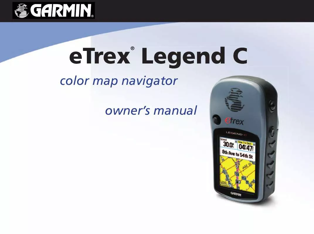
User manual GARMIN ETREX LEGEND C
Lastmanuals offers a socially driven service of sharing, storing and searching manuals related to use of hardware and software : user guide, owner's manual, quick start guide, technical datasheets... DON'T FORGET : ALWAYS READ THE USER GUIDE BEFORE BUYING !!!
If this document matches the user guide, instructions manual or user manual, feature sets, schematics you are looking for, download it now. Lastmanuals provides you a fast and easy access to the user manual GARMIN ETREX LEGEND C. We hope that this GARMIN ETREX LEGEND C user guide will be useful to you.
Lastmanuals help download the user guide GARMIN ETREX LEGEND C.
Manual abstract: user guide GARMIN ETREX LEGEND C
Detailed instructions for use are in the User's Guide.
[. . . ] eTrex
®
color map navigator owner's manual
© Copyright 2004 Garmin Ltd. or its subsidiaries Garmin International, Inc. 1200 East 151st Street, Olathe, Kansas 66062, U. S. A. 913/397. 8200 or 800/800. 1020 Fax 913/397. 8282 Garmin (Europe) Ltd. [. . . ] A message asks "Do You Want To Save the Entire Track?" If you select "Yes, " a "Saving Track" message appears followed by the Saved Track Page. The new saved track is a representation of the entire track log from beginning to end. If you select "No, " a map showing the entire track appears and prompts "Select the beginning point for the saved track. " Use the ROCKER key to move the Panning Arrow to the point on the track line that you want to become the beginning of the Saved Track and press ENTER. The next prompt asks you, "Select the ending point for the saved track. " Use the Panning Arrow to identify a point on the track that you want as the End Point and press ENTER. A "Saving Track" message appears followed by the Saved Track Page.
(cont. on following page)
Saved Track Page
Saved Track on Map
Select Track Ending Point
Select Track Beginning Point
35
eTrex Legend C GPS Navigation Using Tracks
4. The Saved Track Page allows you to rename the track, view the track distance, view the calculated area encompassed by the track (an area is defined even if the track is open ended) and specify a color for the track when displayed on the map page (Show On Map). On-screen buttons at the bottom of the page allow you to Save the track (OK), delete, view it on the Map, and navigate the track back to any point along the track (TracBack).
To view a Track on the Map:
Saved Track Page
Saved Track on the Map Page
1. With the Saved Tracks Page for the track or the Track Log displayed, highlight the Map button and press ENTER to display the Map Page. A map showing the entire track appears with Begin and End markers. Any User Waypoints added to the Track are displayed as well.
To calculate the area of a Track:
Area Calculation Option
Start Calculation Stop Calculation Save Calculated Track
1. With the Track Log Page displayed and the Track Log On, press the MENU key, highlight the Area Calculation option and press ENTER. Press ENTER to start the calculation as you begin to move and define the area's boundaries. When you have completed defining the area, press ENTER to display the page with a Save button. Press ENTER again to save the new track to the Saved Tracks List.
36
eTrex Legend C GPS Navigation
Track Profiles
A Track Elevation Profile can be created from Digital Elevation Models (DEM) maps (MapSource U. S. Topo 24K) which include elevation data contained in the map. To create a track profile, you must be located within the geographic area supported by the DEM map data loaded on your eTrex Legend C. A Track Profile page displays when you select "Profile. " See page 74 for more information about MapSource U. S. Topo 24K maps.
To view a Track Profile:
Using Tracks
View Profile Page Option
1. With the Saved Tracks Page for the Track displayed, press the MENU key to display the Profile option. Then press ENTER to display the Track Profile. The beginning of the track is marked by a flag and you can scroll across the profile by pressing the left ROCKER key arrow. [. . . ] Such repairs or replacement will be made at no charge to the customer for parts or labor, provided that the customer shall be responsible for any transportation cost. This warranty does not cover failures due to abuse, misuse, accident or unauthorized alteration or repairs. THE WARRANTIES AND REMEDIES CONTAINED HEREIN ARE EXCLUSIVE AND IN LIEU OF ALL OTHER WARRANTIES EXPRESS OR IMPLIED OR STATUTORY, INCLUDING ANY LIABILITY ARISING UNDER ANY WARRANTY OF MERCHANTABILITY OR FITNESS FOR A PARTICULAR PURPOSE, STATUTORY OR OTHERWISE. THIS WARRANTY GIVES YOU SPECIFIC LEGAL RIGHTS, WHICH MAY VARY FROM STATE TO STATE. [. . . ]
DISCLAIMER TO DOWNLOAD THE USER GUIDE GARMIN ETREX LEGEND C Lastmanuals offers a socially driven service of sharing, storing and searching manuals related to use of hardware and software : user guide, owner's manual, quick start guide, technical datasheets...manual GARMIN ETREX LEGEND C


