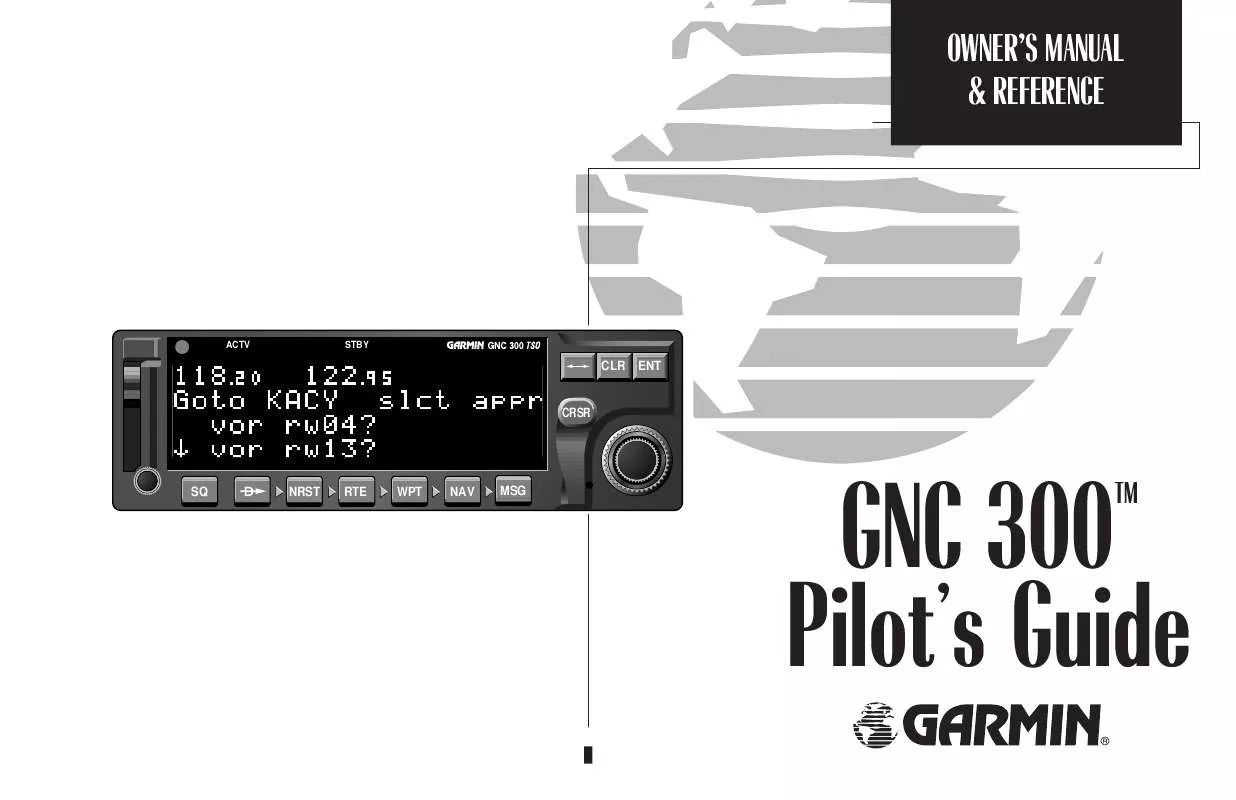
User manual GARMIN GNC 300TSO
Lastmanuals offers a socially driven service of sharing, storing and searching manuals related to use of hardware and software : user guide, owner's manual, quick start guide, technical datasheets... DON'T FORGET : ALWAYS READ THE USER GUIDE BEFORE BUYING !!!
If this document matches the user guide, instructions manual or user manual, feature sets, schematics you are looking for, download it now. Lastmanuals provides you a fast and easy access to the user manual GARMIN GNC 300TSO. We hope that this GARMIN GNC 300TSO user guide will be useful to you.
Lastmanuals help download the user guide GARMIN GNC 300TSO.
Manual abstract: user guide GARMIN GNC 300TSO
Detailed instructions for use are in the User's Guide.
[. . . ] OWNER'S MANUAL & REFERENCE
ACTV
STBY
CLR
ENT
CRSR
SQ
NRST
RTE
WPT
NAV
MSG
GNC 300 Pilot's Guide
®
TM
INTRODUCTION
Foreword
Software Version 2. 04 or above
© 1996 GARMIN Corporation 1200 East 151st Street, Olathe, KS 66062, USA GARMIN (Europe) LTD, Unit 5, The Quadrangle, Abbey Park Industrial Estate, Romsey, U. K. No part of this manual may be reproduced or transmitted in any form or by any means, electronic or mechanical, including photocopying and recording, for any purpose without the express written permission of GARMIN.
GARMINTM, GNC 300TM, AutoLocateTM, MultiTrac8TM, Spell'N'FindTM, GPSCOMTM and AutoStoreTM are trademarks of GARMIN Corporation and may only be used with permission. All rights reserved.
Information in this document is subject to change without notice. GARMIN reserves the right to change or improve their products and to make changes in the content of this material without obligation to notify any person or organization of such changes or improvements.
May 1996
190-00067-00 Rev. [. . . ] The departure/arrival identifiers will be displayed for your reference. Press E to copy the route.
The CPA function calculates the closest distance that a route will pass to a reference waypoint, and helps you create new route waypoints referencing a NAVAID.
Navigation Units Closest Point
of Approach
APPENDIX A ROUTES
SECTION
5
Calculating Closest Point of Approach.
KLIT
To calculate the closest point of approach (CPA) from the route catalog page: 1. Use K to display the route you would like to use for the CPA function. The route must consist of at least two waypoints, and the reference facility must fall between the waypoints of a route leg. Press C twice and rotate K to select `cpa?'. Use K and O to enter the identifier of the reference waypoint. The bearing and distance of the closest point on the route will be displayed. Press E to add the cpa waypoint to the route, or \ to finish. If you do add the cpa waypoint to the route, it will be named based on the reference waypoint plus a number (09) appended to the end (e. g. , KMCI3 for KMCI). If the waypoint does not fall between waypoints on the route, the reference waypoint does not exist or a unique name cannot be assigned to the CPA waypoint, you'll be informed with an `Invald CPA wpt ____' message.
KDAL
TXKO
NORTH
327° 26. 7 nm TXK
Closest Point of Approach
65
SECTION
5
APPENDIX A ROUTES
Search Settings SUA & Rescue Operations
The GNC 300's search and rescue function provides navigation guidance for search and rescue operations, navigating in a ladder pattern to maximize coverage and efficiency. This is done in reference to two waypoints called `anchor waypoints'. The first leg will be a specified distance from the line connecting the anchor waypoints. This is called the `offset distance'. The `increment distance' is the distance between each subsequent leg. Note that bearing and distance information are referenced to the anchor waypoints. The ladder can be created on either side of the waypoints.
To perform a search and rescue operation: 1. Create a route of only two waypoints.
ANCHOR WAYPOINT
2. Press R and use O to display the route catalog page. Use K to select the 2-waypoint route.
LEG LEG LEG INCREMENT INCREMENT INCREMENT DISTANCE DISTANCE DISTANCE
4. Press C twice and use K to display `search?'. Use K and O to enter the leg increment value and R or L. Rotate O to highlight the initial offset, and use K and O to enter the initial offset value, and R or L. [. . . ] 3) The To/From indicator on the GPS CDI will flip momentarily to indicate that you have crossed the midpoint of the turn. For more on turn anticipation, see Section 5. When does the CDI scale change, and what does it change to?Whenever an approach is selected, the GNC 300 will begin a smooth CDI scale transition from the 5. 0 nm to the 0. 3 nm scale 30 nm from the destination airport (see right). [. . . ]
DISCLAIMER TO DOWNLOAD THE USER GUIDE GARMIN GNC 300TSO Lastmanuals offers a socially driven service of sharing, storing and searching manuals related to use of hardware and software : user guide, owner's manual, quick start guide, technical datasheets...manual GARMIN GNC 300TSO


