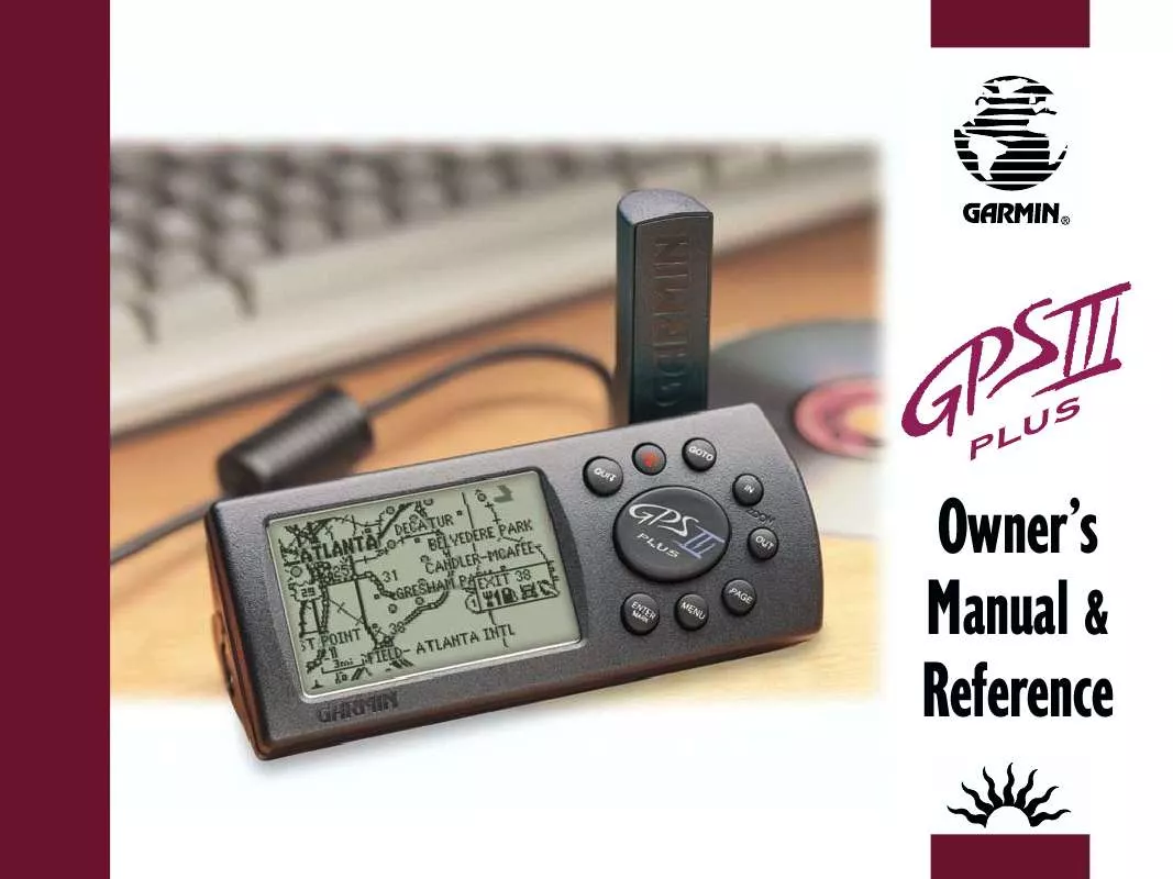
User manual GARMIN GPS III PLUS
Lastmanuals offers a socially driven service of sharing, storing and searching manuals related to use of hardware and software : user guide, owner's manual, quick start guide, technical datasheets... DON'T FORGET : ALWAYS READ THE USER GUIDE BEFORE BUYING !!!
If this document matches the user guide, instructions manual or user manual, feature sets, schematics you are looking for, download it now. Lastmanuals provides you a fast and easy access to the user manual GARMIN GPS III PLUS. We hope that this GARMIN GPS III PLUS user guide will be useful to you.
Lastmanuals help download the user guide GARMIN GPS III PLUS.
You may also download the following manuals related to this product:
Manual abstract: user guide GARMIN GPS III PLUS
Detailed instructions for use are in the User's Guide.
[. . . ] Owner's Manual & Reference
GARMIN International, 1200 E. 151st Street, Olathe, Kansas 66062 USA Tel: 913/397. 8200 Fax: 913/397. 8282 GARMIN (Europe) Ltd. , Unit 5, The Quadrangle, Abbey Park, Romsey, Hampshire SO51 9AQ UK Tel: 44/1794. 519944 Fax: 44/1794. 519222 GARMIN Corporation, No. 68, Jangshu 2nd Road, Shijr, Taipei County, Taiwan Tel: 886/2/2642. 9199 Fax: 886/2. 2642. 9099 Web Site Address: www. garmin. com © 1999-2001 GARMIN Corporation. Except as expressly provided herein, no part of this manual may be reproduced, copied, transmitted, disseminated, downloaded or stored in any storage medium, for any purpose without prior written consent of GARMIN Corporation. [. . . ] Use the rocker keypad to enter the new waypoint name and press ENTER when finished. To save the waypoint in memory, highlight `Done' and press ENTER.
Waypoints can be created directly from the Map Page, by placing the panning arrow on the desired position and pressing ENTER.
Creating Waypoints by Text Entry Waypoints may be created by manually entering the position coordinates or by entering the bearing and distance from an existing waypoint (or present position). To create a new waypoint by manually entering its coordinates, or by bearing/distance from another position:
1. Press the MENU key twice to select the Main Menu. Highlight `Waypoints' and press ENTER. A list of all waypoints stored in memory is displayed. Press MENU to display the Waypoint List Options.
User waypoints can also be created by entering the position coordinates for the waypoint. Highlight `New Waypoint' and press ENTER. To enter a name for the new waypoint, highlight the waypoint name field and press ENTER. Use the rocker keypad to enter the waypoint name and press ENTER when finished. To enter position coordinates for the new waypoint, highlight the waypoint coordinates field and press ENTER. Use the rocker keypad to enter the position coordinates and press ENTER when finished. (For lat/long coordinates, enter both the latitude and longitude information before pressing ENTER. ) OR, 7. To create the new waypoint by referencing another position, highlight the reference waypoint name field and press ENTER. Use the rocker keypad to enter the name of the reference waypoint and press ENTER. (If the reference waypoint name field is left blank, your present position will be used as the reference position. ) Use the same procedure to enter the bearing (BRG) and distance (DIST) from the reference waypoint to the new waypoint. (Remember to press ENTER once each data item is selected with the rocker keypad. ) 8. To save the new waypoint in memory, highlight `Done' and press ENTER.
REFERENCE
Creating Waypoints
You can choose from a list of symbols used to identify the waypoint on the map display.
Waypoint List Options The Waypoint List Options were displayed using the first three steps, above. In addition to `New Waypoint', there are five additional options: Show Map-- allows you to view the map area around the highlighted waypoint on the Waypoint List. While viewing the map display, you can also use the IN and OUT zoom keys to see additional detail. To view the map area around a highlighted waypoint on the Waypoint List:
1. Select `Show Map' (from the Waypoint List Options) and press ENTER.
The Spell `n Find option allows you to retrieve waypoint information by manually entering the waypoint's name with the rocker keypad. [. . . ] Time to Dest--The estimated time required to reach a GOTO destination, or the final waypoint in a route. Time to Next--The estimated time required to reach a GOTO destination, or the next waypoint in a route.
95
APPENDIX G
Navigation Terms
To Course--The recommended direction to steer in order to reduce course error or stay on course. Provides the most efficient heading to get back to the desired course and proceed along your route. Track--The direction of movement relative to a ground position. [. . . ]
DISCLAIMER TO DOWNLOAD THE USER GUIDE GARMIN GPS III PLUS Lastmanuals offers a socially driven service of sharing, storing and searching manuals related to use of hardware and software : user guide, owner's manual, quick start guide, technical datasheets...manual GARMIN GPS III PLUS


 GARMIN GPS III PLUS (1238 ko)
 GARMIN GPS III PLUS Release Note (115 ko)
