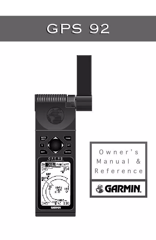
User manual GARMIN GPS 92
Lastmanuals offers a socially driven service of sharing, storing and searching manuals related to use of hardware and software : user guide, owner's manual, quick start guide, technical datasheets... DON'T FORGET : ALWAYS READ THE USER GUIDE BEFORE BUYING !!!
If this document matches the user guide, instructions manual or user manual, feature sets, schematics you are looking for, download it now. Lastmanuals provides you a fast and easy access to the user manual GARMIN GPS 92. We hope that this GARMIN GPS 92 user guide will be useful to you.
Lastmanuals help download the user guide GARMIN GPS 92.
You may also download the following manuals related to this product:
Manual abstract: user guide GARMIN GPS 92
Detailed instructions for use are in the User's Guide.
[. . . ] GPS 92
OwnerÕs Manual & Reference
Software Version 2. 01 or above © 1998 GARMIN Corporation, 1200 E. 151st Street, Olathe, KS USA 66062 Tel: 913-397-8200 Fax: 913-397-8282 GARMIN (Europe) LTD, Unit 5, The Quadrangle, Abbey Park Industrial Estate, Romsey, U. K. SO51 9AQ Tel: 011-44-1794-519944 Fax: 011-44-1794-519222 GARMIN (Asia) Corp. , 4th Fl. , No. 1, Lane 45, Pao-Hsing Road, Hsin Tien, Taiwan R. O. C. [. . . ] Also, the `Battery power is low' message may not accurately reflect current condition.
38
Reference Receiver Status Receiver status is displayed at the top left of the screen, with the current horizontal accuracy (estimated position error, in feet or meters) at the top right. The status field will show one of the following conditions: Searching-- the receiver is looking for any available satellites in view. AutoLocate-- the receiver is initializing and collecting new almanac data. Acquiring-- the receiver is collecting data from available satellites but has not collected enough data to calculate a 2D fix. 2D Navigation-- at least three satellites with good geometry have been locked onto, and a 2-dimensional position fix (latitude and longitude) is being calculated. `2D Diff' will appear when you are receiving DGPS corrections in 2D mode. 3D Navigation-- at least four satellites with good geometry have been locked onto and your position is now being calculated in latitude, longitude and altitude. `3D Diff' will appear when you are receiving DGPS corrections in 3D mode. Poor GPS Coverage-- the receiver is no longer tracking enough satellites for a 2D or 3D fix. Not Usable-- the receiver is unusable, possibly due to incorrect initialization or abnormal satellite conditions. Simulating Navigation-- the receiver is in simulator mode. EZinit Prompt The satellite status page also displays the EZinit prompt whenever a position fix has not been calculated (the unit must be in searching, AutoLocate, acquiring, or poor coverage mode). This prompt allows you to manually reinitialize the receiver. This feature is useful if you have traveled over 500 miles with the receiver off and you know it must be initialized to your new position (the unit will also automatically offer the EZinit prompt after 3-5 minutes of unsuccessful satellite acquisition).
A poor coverage status will appear if the receiver has lost the number of satellites required to compute a fix.
Satellite Status Page
The EZinit prompt will automatically appear if the receiver needs to be initialized. The prompt may also appear during normal use if the antenna is shaded or the unit is used indoors.
39
Reference Position Page The position page displays your current position's latitude, longitude, altitude and time. It also displays your ground track and speed whenever you're moving. The position page lets you enter a position's latitude and longitude manually. During satellite acquisition, the position displayed is the last computed position stored in memory. To speed up the acquisition process, you can enter a more accurate initial position or reference airport (see page 7). At a minimum, be sure to accurately enter the latitude and longitude to the nearest degree.
To manually enter a position:
1. Highlight the position field and press E. Use the arrow keys to enter the new position and press E to confirm.
Position Page
Entering an altitude manually.
When the GPS 92 is acquiring satellites or navigating in the 2D mode, the last known altitude will be used to compute your position. [. . . ] Delete unwanted track data to make room for new entries. Transfer has been Completed--The receiver is finished uploading or downloading information to the connected device. Vertical Nav Cancelled--The VNAV function has been cancelled due to a change in the active route. WPT Memory is Full--You have used all 500 waypoints. [. . . ]
DISCLAIMER TO DOWNLOAD THE USER GUIDE GARMIN GPS 92 Lastmanuals offers a socially driven service of sharing, storing and searching manuals related to use of hardware and software : user guide, owner's manual, quick start guide, technical datasheets...manual GARMIN GPS 92


 GARMIN GPS 92 Release Note (115 ko)
 GARMIN GPS 92 PILOT'S GUIDE (1838 ko)
