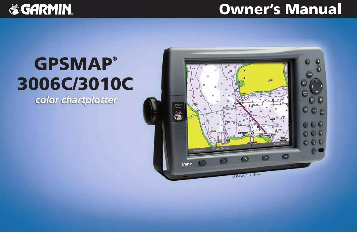
User manual GARMIN GPSMAP 3006C
Lastmanuals offers a socially driven service of sharing, storing and searching manuals related to use of hardware and software : user guide, owner's manual, quick start guide, technical datasheets... DON'T FORGET : ALWAYS READ THE USER GUIDE BEFORE BUYING !!!
If this document matches the user guide, instructions manual or user manual, feature sets, schematics you are looking for, download it now. Lastmanuals provides you a fast and easy access to the user manual GARMIN GPSMAP 3006C. We hope that this GARMIN GPSMAP 3006C user guide will be useful to you.
Lastmanuals help download the user guide GARMIN GPSMAP 3006C.
You may also download the following manuals related to this product:
Manual abstract: user guide GARMIN GPSMAP 3006C
Detailed instructions for use are in the User's Guide.
[. . . ] Owner's Manual
GPSMAP 3006C/3010C
®
10C shown GPSMAP 30
© Copyright 2004, 2005, 2006 Garmin Ltd. or its subsidiaries Garmin International, Inc. 1200 East 151st Street, Olathe, Kansas 66062, U. S. A. 913/397. 8200 or 800/800. 1020 Fax 913/397. 8282 Garmin (Europe) Ltd. [. . . ] For more information setting up track options and saved tracks, see pages 2324.
Tracks Tab
The following settings are available: · Record Mode--allows you to select one of three track recording options: · Off--No track log is recorded. If you select Off, you cannot use the TracBack feature. · Fill--a track log is recorded until the track memory is full. · Wrap--a track log is continuously recorded, wrapping through the available memory (replacing the oldest track data with new data). · Color--allows you to specify a color used to show the active track log on the Map and Highway Pages. · Interval--defines the frequency at which the track plot is recorded. Three interval settings are available: · Distance--records the track based on a user-defined distance between points. · Time--records track plot based on a user-defined time interval. · Resolution--records the track plot based on a user-defined variance from your course over ground or changes in water depth/temp (if equipped). The Resolution option is the default setting and is recommended for the most efficient use of memory and TracBack performance. The distance value (entered in the value field) is the maximum error allowed from the true course before recording a track point. · Value--defines the distance or time used to record the track log. The following soft keys are available: · Save--saves the current active track log. · Clear--clears the active track log currently stored in memory.
53
Active Sub Tab
The Active sub tab shows the amount of track memory used and current settings for the active log (the log currently being recorded). The active log stores up to approximately 10, 000 track log points, based on the criteria specified in the Track settings.
GPSMAP 3006C/3010C Owner's Manual
MAIN MENU > DSC (DIGITAL SELECTIVE CALLING) TAB
The Saved sub tab shows a list of all saved track logs. It also allows you to use a track for TracBack or display it on a map. You can save up to 15 track logs in memory with up to 700 track log points in each saved log. On the Saved sub tab, the following soft keys are available: · Review Map--opens the Saved Track window so you can review the selected track. · Delete--deletes the highlighted saved track log from memory. · Delete All--deletes all saved track logs from memory.
Saved Sub Tab
DSC (Digital Selective Calling) Tab
Use the DSC tab to control and set up DSC features on the GPSMAP 3006C/3010C. DSC uses marine VHF radio and GPS technologies to transmit and receive location information. DSC is used by mariners for two major operations--distress calls and position reporting. [. . . ] 456, no civil action may be brought against the United States on the basis of the content of a navigational aid prepared or disseminated by either the former Defense Mapping Agency (DMA), National Imagery and Mapping Agency (NIMA), or the National Geospatial-Intelligence Agency (NGA). The DAFIFTM product is provided "as is, " and no warranty, express or implied, including, but not limited to the implied warranties of merchantability and fitness for particular purpose or arising by statute or otherwise in law or from a course of dealing or usage in trade, is made by NGA as to the accuracy and functioning of the product. Neither NGA nor its personnel will be liable for any claims, losses, or damages arising from or connected with the use of this product. The user agrees to hold harmless the United States National Geospatial-Intelligence Agency. [. . . ]
DISCLAIMER TO DOWNLOAD THE USER GUIDE GARMIN GPSMAP 3006C Lastmanuals offers a socially driven service of sharing, storing and searching manuals related to use of hardware and software : user guide, owner's manual, quick start guide, technical datasheets...manual GARMIN GPSMAP 3006C


 GARMIN GPSMAP 3006C Install Guide (194 ko)
 GARMIN GPSMAP 3006C Quick Reference (738 ko)
 GARMIN GPSMAP 3006C Installation Instruction (2095 ko)
