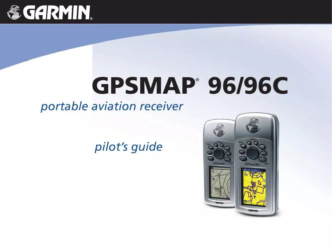
User manual GARMIN GPSMAP 96
Lastmanuals offers a socially driven service of sharing, storing and searching manuals related to use of hardware and software : user guide, owner's manual, quick start guide, technical datasheets... DON'T FORGET : ALWAYS READ THE USER GUIDE BEFORE BUYING !!!
If this document matches the user guide, instructions manual or user manual, feature sets, schematics you are looking for, download it now. Lastmanuals provides you a fast and easy access to the user manual GARMIN GPSMAP 96. We hope that this GARMIN GPSMAP 96 user guide will be useful to you.
Lastmanuals help download the user guide GARMIN GPSMAP 96.
You may also download the following manuals related to this product:
Manual abstract: user guide GARMIN GPSMAP 96
Detailed instructions for use are in the User's Guide.
[. . . ] portable aviation receiver pilot's guide
GPSMAP 96/96C
®
© 2006 Garmin Ltd. or its subsidiaries Garmin International, Inc. 1200 East 151st Street, Olathe, Kansas 66062, U. S. A. 913/397. 8200 or 800/800. 1020 Fax 913/397. 8282 Garmin (Europe) Ltd. [. . . ] If the arrow points up, you are going directly to the waypoint. If the arrow points any other direction turn toward the arrow until it points up. The Marine Mode is a Course Pointer similar to the HSI, that can be selected from the Marine Mode Options Menu.
NOTE: You must be moving for the Pointer to accurately update and show your heading.
Configurable data fields at the top of the page show helpful information during active navigation. For definitions of data field settings, refer to the Appendix. The bottom of the page features a rotating Pointer ring that shows your course over ground (track) while you are moving. The course is indicated at the top of the Pointer ring.
68 Pointer Page (Automotive Mode)
The Automotive Mode features data fields with default settings that are more desirable for land navigation.
96/96C Owner's Manual
MAIN PAGES >
HSI/Pointer Page Options Menus
The Options Menu on the Pointer Page allows you to customize the HSI/Pointer Page to your preferences in all unit operating modes. Like the Map Page, the HSI/Pointer Page features user-selectable data fields. Each data field can be configured to show any one of several data options, and the data window layout can be customized to change the actual size of the data shown. To show the HSI/Pointer Page Options Menus:
HSI Page Options (Aviation Mode)
Stop Navigation/Resume Navigation--(Automotive and Marine modes) Recalculate--(Automotive and Marine Modes) Use for an active route. Set OBS and Hold--(Aviation Mode) Allows you to alter your course.
1. Use the ROCKER to select an option.
The options available on the HSI/Pointer Page Options Menus are:
96/96C Owner's Manual
69
MAIN PAGES >
Set CDI Scale--(Aviation and Marine Modes) Adjusts the CDI scale. Set Bug Indicator--(Aviation and Marine Modes) Sets the Bug Indicator mode. Enable/Disable VNAV Indicator--(Aviation Mode) Bearing Pointer/Course Pointer--(Marine Mode) Toggles between the Bearing Pointer and the Course Pointer. The Course Pointer, which shows how far off you are from your course and how to get on course. Also referred to as a CDI, Course Deviation Indicator. Set Up VNAV--(Aviation Mode) takes you to the VNAV setup page. Set Up Page Layout--allows you to choose text size and number of data fields. Change Data Fields--allows you to specify the type of data shown in each data field on the page. Refer to the Appendix for data descriptions.
Active Route Page
Whenever you have started a route while in Aviation or Marine Mode, the Active Route Page shows each point (waypoint or map item) of the active route, with the point name, Course, Distance, and several other fields of information. The current destination point, the "active" point, is marked with an arrow icon. As you navigate a route, the list automatically updates to indicate the next "active" point first. The Active Route and Route Review Pages share many of the same features and options. [. . . ] 1200 E 151st Street, Olathe, Kansas 66062 U. S. A. Unit 5, The Quadrangle, Abbey Park Industrial Estate, Romsey, SO51 9DL U. K. 44/0870. 8501241 Fax 44/0870. 8501251 The Garmin GPSMAP 96/96C has no user-serviceable parts. Should you ever encounter a problem with your unit, please take it to an authorized Garmin dealer for repairs. [. . . ]
DISCLAIMER TO DOWNLOAD THE USER GUIDE GARMIN GPSMAP 96 Lastmanuals offers a socially driven service of sharing, storing and searching manuals related to use of hardware and software : user guide, owner's manual, quick start guide, technical datasheets...manual GARMIN GPSMAP 96


 GARMIN GPSMAP 96 (5528 ko)
 GARMIN GPSMAP 96 Quick Reference (731 ko)
 GARMIN GPSMAP 96 QUICK REFERENCE GUIDE (731 ko)
 GARMIN GPSMAP 96 DECLARATION OF CONFORMITY (67 ko)
 GARMIN GPSMAP 96 QUICK REFERENCE GUIDE REV. B, APR, 2006 (731 ko)
