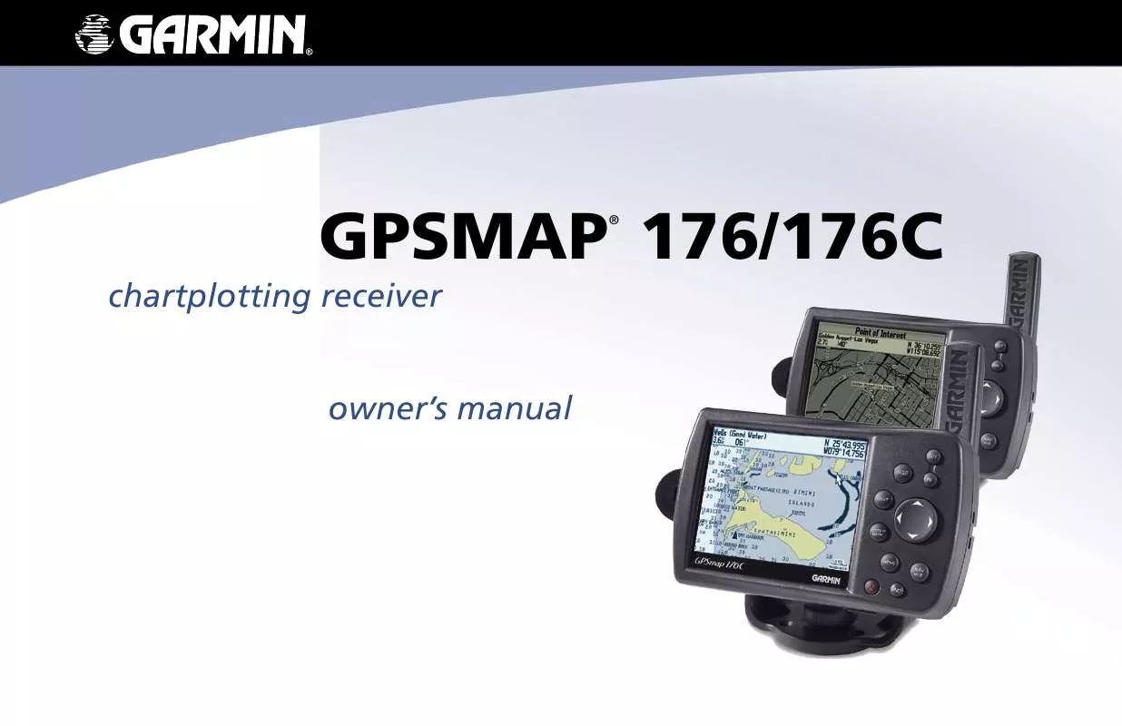
User manual GARMIN GPSMAP 176C
Lastmanuals offers a socially driven service of sharing, storing and searching manuals related to use of hardware and software : user guide, owner's manual, quick start guide, technical datasheets... DON'T FORGET : ALWAYS READ THE USER GUIDE BEFORE BUYING !!!
If this document matches the user guide, instructions manual or user manual, feature sets, schematics you are looking for, download it now. Lastmanuals provides you a fast and easy access to the user manual GARMIN GPSMAP 176C. We hope that this GARMIN GPSMAP 176C user guide will be useful to you.
Lastmanuals help download the user guide GARMIN GPSMAP 176C.
You may also download the following manuals related to this product:
Manual abstract: user guide GARMIN GPSMAP 176C
Detailed instructions for use are in the User's Guide.
[. . . ] GPSMAP 176/176C
®
chartplotting receiver owner's manual
© Copyright 2002-2005 Garmin Ltd. or its subsidiaries Garmin International, Inc. 1200 East 151st Street, Olathe, Kansas 66062, U. S. A. 913/397. 8200 or 800/800. 1020 Fax 913/397. 8282 Garmin (Europe) Ltd. [. . . ] Once you start moving, the pointer is correct.
The Compass page features a menu page that provides access to layout and data field options. The data window, located at the top of the page, provides a user-selectable layout of various types of useful data. Each data field can be configured to display several data options. The data window layout can also be changed to display more/less data fields and change the actual size of the data displayed. Press MENU to display the Compass page options. To select a menu option, use the ROCKER to highlight the desired option and press ENTER. See pages 43-44 for detailed instructions on changing the data fields and layout.
Compass Page Options
Compass Page Options
Compass Ring-- indicates current direction of travel
Pointer--points toward destination while moving
GPSMAP 176/176C Owner's Manual
45
MAIN PAGES > HIGHWAY PAGE
Whenever a Go To, TracBack, or Route is activated, Highway page provides digital and graphic steering guidance to the destination. The right side of the Highway page features user-selectable data fields that display useful navigation information. A compass ribbon is displayed at the top of the page to show your current heading along with a dark, vertical bar which indicates the bearing to your course. To stay on course, steer towards the dark, vertical indicator (or arrows) until it lines up with the lighter gray bar in the middle. The bottom section of the screen provides visual guidance to the waypoint on a graphic highway display. The line down the center of the highway represents your heading. As you head toward your destination, the highway perspective moves to indicate your progress to the waypoint and which direction you should steer to stay on course. If you are navigating a route, the Highway page shows each route waypoint in sequence connected by a black road with a white line down the middle, which is your desired track line. Nearby waypoints not in the active route can also be displayed. The highway perspective range may also be zoomed in or out to display a larger or smaller view of the highway. Five settings are available from 1X to 16X, with a default setting of 8X. Press the IN or OUT key to change the highway perspective range.
Highway Page
Current Nav Point
Current Track
Data Fields
Desired Track Line
Current Location
Zoom Range
The Highway page options allow you to define the data fields and select which waypoints and tracks are displayed on screen. The data window, located along the right side of the page, provides a userselectable layout of various types of useful data. Each data field may be configured to display several data options. The data window layout may also be changed to display additional data fields and change the actual size of the data displayed. Press MENU to display the
46
GPSMAP 176/176C Owner's Manual
MAIN PAGES > HIGHWAY PAGE
Highway page options. [. . . ] However, there is no guarantee that interference will not occur in a particular
GPSMAP 176/176C Owner's Manual
93
APPENDIX > SAFETY INFORMATION
CAUTION: Use the GPSMAP 176/176C at your own risk. To reduce the risk of unsafe operation, carefully review and understand all aspects of this Owner's Manual--and thoroughly practice operation using Simulator Mode prior to actual use. When in actual use, carefully compare indications from the GPSMAP 176/176C to all available navigation sources, including information from other NAVAIDs, visual sightings, charts, etc. For safety, always resolve any discrepancies before continuing navigation. [. . . ]
DISCLAIMER TO DOWNLOAD THE USER GUIDE GARMIN GPSMAP 176C Lastmanuals offers a socially driven service of sharing, storing and searching manuals related to use of hardware and software : user guide, owner's manual, quick start guide, technical datasheets...manual GARMIN GPSMAP 176C


 GARMIN GPSMAP 176C (1627 ko)
 GARMIN GPSMAP 176C Quick Start (725 ko)
 GARMIN GPSMAP 176C QUICK START GUIDE (724 ko)
