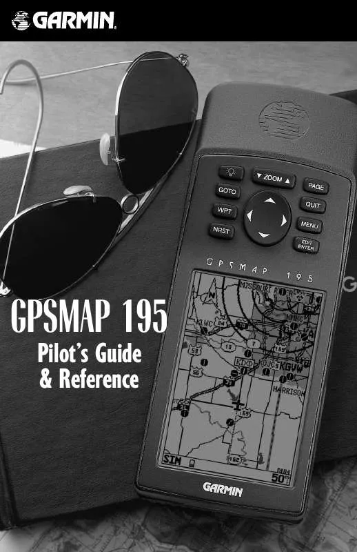
User manual GARMIN GPSMAP 195
Lastmanuals offers a socially driven service of sharing, storing and searching manuals related to use of hardware and software : user guide, owner's manual, quick start guide, technical datasheets... DON'T FORGET : ALWAYS READ THE USER GUIDE BEFORE BUYING !!!
If this document matches the user guide, instructions manual or user manual, feature sets, schematics you are looking for, download it now. Lastmanuals provides you a fast and easy access to the user manual GARMIN GPSMAP 195. We hope that this GARMIN GPSMAP 195 user guide will be useful to you.
Lastmanuals help download the user guide GARMIN GPSMAP 195.
You may also download the following manuals related to this product:
Manual abstract: user guide GARMIN GPSMAP 195
Detailed instructions for use are in the User's Guide.
[. . . ] GPSMAP 195
Pilot's Guide & Reference
INTRODUCTION
FOREWORD
This manual is written for Software Version 3. 00 or above, and is not suitable for earlier software versions. Land Data Base Map Version 1. 00 or above GARMIN International, Inc. , 1200 E. 151st Street, Olathe, KS 66062 USA Tel: 913-397-8200 Fax: 913-397-8282
GARMIN (Europe) LTD, Unit 5, The Quadrangle, Abbey Park, Romsey, Hampshire SO51 9AQ UK
Tel: 011-44-1794-519944 Tel: 011-886-02-2917-4107 Web Site Address: www. garmin. com NavData® is a registered trademark of Jeppesen, Inc.
Fax: 011-44-1794-519222 Fax: 011-886-02-2917-1758
GARMIN (Asia) Corp. , 3F, No. 1, Lane 45, Pao Hsing Road, Hsin Tien, Taipei, Taiwan R. O. C.
© 1996-1999 GARMIN Corporation. [. . . ] Press the Q key.
By highlighting a waypoint on the map display, and pressing © you won't have to enter the identifier for the waypoint.
SELECTING MAP SCALES
The map display has 21 available range scales from 1/10th to 3000 miles (nautical or statute; or 1/4 to 5000 km). The map scale is controlled by the A key, with the current scale displayed on the status bar at the bottom of the page.
To select a map scale: 1. Press the UP arrow of the A key to zoom out. The higher scale setting will show a larger area, but in less detail. Press the DOWN arrow of the A key to zoom in. The lower scale setting will show a smaller area, but in greater detail.
If no waypoint is highlighted at the cursor position, you can still go to the position. The GPSMAP 195 automatically creates a waypoint named `MAPWPT'.
53
REFERENCE
Map Page
SELECTING MAP SCALES (cont. )
The GPSMAP 195's system has a built-in base map providing best map detail at scales down to 20 nautical miles. Worldwide coverage is available by adding the International Mapping Datacard to an Americas-version GPSMAP 195, or by adding the Americas Mapping Datacard to an International-version GPSMAP 195. Datacards are also available for Canada and Alaska to provide additional detail. Map detail will conform to the following conditions: · When the selected zoom range is covered by both the internal base map and a mapping datacard, map detail will be displayed using the data with the best resolution. · When the selected zoom range exceeds the resolution of the available chart data, overzoom map detail will be displayed. An `Ovr Zm' warning will appear on the status bar, next to the map scale. Additional caution should be used while navigating in this mode.
Zoom in to see more detail for a smaller area. Notice the `ovr zm' warning in the lower right corner. Extra caution should be used when exceeding the resolution of the map data.
MAP PAGE OPTIONS
The GPSMAP 195 map page is designed to be a flexible tool that can be custom-tailored to your navigation needs. The map options page provides access to many of the features and functions that will help you configure the map page to your own preferences.
To display the map page options: Select `Restore Defaults?' to instantly reset the map options to the factory default settings. Highlight the desired option and press T.
The following options are available: · Data Fields Off or Data Fields On?-- allows you to select between a full-screen map display or the default map display with data window.
54
REFERENCE
MAP PAGE OPTIONS (cont. )
· Number of Data Fields?-- allows you to specify the number of fields displayed in the data window section of the map page. A graphic track compass or CDI scale may also be displayed. The following options are available: · 2 Fields · 2 Fields & CDI · 4 Fields & Compass · 6 Fields · 6 Fields & CDI
To change the number of data fields: 1. Highlight the `Number of Data Fields?' option and press T. Select the desired option and press T.
Map Page
· 2 Fields & Compass · 4 Fields · 4 Fields & CDI · 6 Fields & Compass · 8 Fields
· Change Data Fields?-- allows you to specify the data displayed in each data field at the top of the map page. Definitions for unfamiliar terms may be found in Appendix F. [. . . ] `L' indicates you should turn left, `R' indicates you should turn right. The degrees indicate the angle you are off course. Universal Transverse Mercator/Universal Polar Stereographic- (UTM/UPS)-- A grid coordinate system that projects global sections onto a flat surface to measure position in specific zones. Velocity Made Good (VMG)--The speed you are closing in on a destination along a desired course. [. . . ]
DISCLAIMER TO DOWNLOAD THE USER GUIDE GARMIN GPSMAP 195 Lastmanuals offers a socially driven service of sharing, storing and searching manuals related to use of hardware and software : user guide, owner's manual, quick start guide, technical datasheets...manual GARMIN GPSMAP 195


 GARMIN GPSMAP 195 PILOT'S GUIDE (1834 ko)
