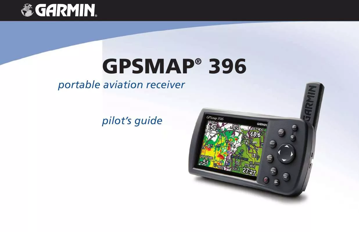
User manual GARMIN GPSMAP 396
Lastmanuals offers a socially driven service of sharing, storing and searching manuals related to use of hardware and software : user guide, owner's manual, quick start guide, technical datasheets... DON'T FORGET : ALWAYS READ THE USER GUIDE BEFORE BUYING !!!
If this document matches the user guide, instructions manual or user manual, feature sets, schematics you are looking for, download it now. Lastmanuals provides you a fast and easy access to the user manual GARMIN GPSMAP 396. We hope that this GARMIN GPSMAP 396 user guide will be useful to you.
Lastmanuals help download the user guide GARMIN GPSMAP 396.
You may also download the following manuals related to this product:
Manual abstract: user guide GARMIN GPSMAP 396
Detailed instructions for use are in the User's Guide.
[. . . ] portable aviation receiver pilot's guide
GPSMAP 396
®
© Copyright 2005 Garmin Ltd. or its subsidiaries Garmin International, Inc. 1200 East 151st Street, Olathe, Kansas 66062, U. S. A. 913/397. 8200 or 800/800. 1020 Fax 913/397. 8282 Garmin (Europe) Ltd. [. . . ] Up to 100 waypoints can be listed with a maximum alarm radius of 99. 99 nautical miles, statute miles, or kilometers.
To delete waypoints by distance:
Proximity Points Tab
If a proximity alarm circle overlaps an existing alarm circle, a "Proximity Overlaps Another Proximity Waypoint" message appears. Because the unit only alerts for one of the overlap points, use caution when navigating in these areas. If you enter an alarm circle overlap, you are only alerted to the closest proximity waypoint.
GPSMAP 396 Pilot's Guide
AUTOMOTIVE MODE PAGES AND FEATURES > EDITING AND MANAGING WAYPOINTS
1. Highlight Points from the vertical list of tabs. Highlight Proximity from the row of tabs along the top of the screen. Use the ROCKER to highlight the field below Proximity Alarm, and press ENTER. Select the ON or OFF setting, and press ENTER. From the Proximity Points tab, use the ROCKER to highlight an empty line on the Proximity List, and press ENTER. Select the waypoint or point of interest from the Find Menu. With OK highlighted, press ENTER to select that point. (For complete information about the Find Menu, see "Finding an Item" on page 57). Press ENTER to begin entry of the proximity radius. Use the ROCKER to enter a distance value (up to 99. 99 units), and press ENTER.
To turn proximity alarms on or off:
To clear one or all proximity waypoints from the list:
1. Use the ROCKER to highlight the proximity waypoint to clear, and press MENU.
To add a proximity waypoint:
Proximity Points Tab Options Menu
3. To clear a single alarm, highlight Remove Point, and press ENTER. To clear all proximity waypoints, select Remove All, and press ENTER. Use the ROCKER to highlight OK, and press ENTER.
GPSMAP 396 Pilot's Guide
85
AUTOMOTIVE MODE PAGES AND FEATURES > MANAGING YOUR TRACKS
Managing Your Tracks
The GPSMAP 396 draws an electronic breadcrumb trail or "track log" on the Map Page as you travel. The track log contains points along its path, including time, and location for each point. The track log starts recording as soon as the GPSMAP 396 gets a location fix. For the best results, clear the track log before you start traveling because when the track log is full, new track points overwrite the oldest track points. The percentage of memory used by the current track log appears at the top of the Active sub tab. After the track log is cleared, it shows zero percent. [. . . ] Contact XM Satellite Radio by phone at 800-985-9200 to subscribe to XM WX Weather and/or XM Radio.
GPSMAP 396 Pilot's Guide
179
APPENDIX > LICENSE AGREEMENT AND WARRANTY
FCC Compliance
The GPSMAP 396 complies with Part 15 of the FCC interference limits for Class B digital devices FOR HOME OR OFFICE USE. These limits are designed to provide more reasonable protection against harmful interference in a residential installation, and are more stringent than "outdoor" requirements. Operation of this device is subject to the following conditions: (1) This device may not cause harmful interference, and (2) this device must accept any interference received, including interference that may cause undesired operation. This equipment generates, uses, and can radiate radio frequency energy and may cause harmful interference to radio communications if not installed and used in accordance with the instructions. [. . . ]
DISCLAIMER TO DOWNLOAD THE USER GUIDE GARMIN GPSMAP 396 Lastmanuals offers a socially driven service of sharing, storing and searching manuals related to use of hardware and software : user guide, owner's manual, quick start guide, technical datasheets...manual GARMIN GPSMAP 396


 GARMIN GPSMAP 396 (5637 ko)
 GARMIN GPSMAP 396 PILOT GUIDE (4196 ko)
 GARMIN GPSMAP 396 Quick Reference (344 ko)
 GARMIN GPSMAP 396 QUICK REFERENCE GUIDE (397 ko)
 GARMIN GPSMAP 396 QUICK REFERENCE GUIDE (397 ko)
 GARMIN GPSMAP 396 Installation Instruction (516 ko)
 GARMIN GPSMAP 396 INSTALLATION INSTRUCTIONS (632 ko)
 GARMIN GPSMAP 396 QUICK REFERENCE GUIDE REV. B, OCT, 2006 (397 ko)
 GARMIN GPSMAP 396 YOKE MOUNT INSTRUCTIONS REV. B, MAY, 2005 (516 ko)
 GARMIN GPSMAP 396 GA 26C INSTALLATION INSTRUCTIONS REV. C, FEB, 2000 (633 ko)
