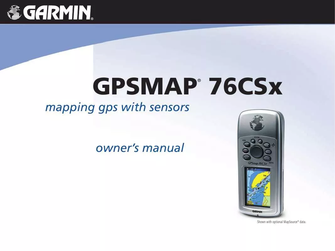
User manual GARMIN GPSMAP 76CSX
Lastmanuals offers a socially driven service of sharing, storing and searching manuals related to use of hardware and software : user guide, owner's manual, quick start guide, technical datasheets... DON'T FORGET : ALWAYS READ THE USER GUIDE BEFORE BUYING !!!
If this document matches the user guide, instructions manual or user manual, feature sets, schematics you are looking for, download it now. Lastmanuals provides you a fast and easy access to the user manual GARMIN GPSMAP 76CSX. We hope that this GARMIN GPSMAP 76CSX user guide will be useful to you.
Lastmanuals help download the user guide GARMIN GPSMAP 76CSX.
You may also download the following manuals related to this product:
Manual abstract: user guide GARMIN GPSMAP 76CSX
Detailed instructions for use are in the User's Guide.
[. . . ] mapping gps with sensors owner's manual
GPSMAP 76CSx
®
Shown with optional MapSource® data.
© 2005 Garmin Ltd. or its subsidiaries Garmin International, Inc. 1200 East 151st Street, Olathe, Kansas 66062, U. S. A. 913/397. 8200 or 800/800. 1020 Fax 913/397. 8282
Garmin (Europe) Ltd. [. . . ] Light Sectors--controls the display of lighted navigation aids. Symbol Set--select the symbol set to use (Auto, GARMIN, NOAA, International).
Press MENU to view the list of options for showing maps. Map Setup--Marine Page Use the Map Setup--Marine Page to customize settings for marine colors, spot soundings, light sectors, and symbol sets when using downloaded marine charts MapSource BlueChart marine mapping data.
Measuring Distance
You can measure the distance between two map items.
1. Press MENU to open the Map Page Options Menu. Highlight Measure Distance, and press ENTER. An on-screen arrow appears on the map at your current location with REF below it. Move the arrow to the reference point (the starting point you want to measure from), and press ENTER. A push pin icon marks the starting point on the map.
45
To measure distance between two points:
Map Setup Marine Page
GPSMAP 76CSx Owner's Manual
MAIN PAGES > MAP PAGE 4. Move the arrow to the point you want to measure to. The distance between the two points is shown in the upper-right corner of the Map Page. Press QUIT to cancel.
Turning Declutter On or Off
You can remove unwanted items from the Map Page (declutter the screen) such as map item titles and icons. This is useful when the map is zoomed to a scale that is partially obscured by titles and icons that remain the same size regardless of the map scale.
1. Press MENU to open the Map Page Options menu. Highlight Turn Declutter On, and press ENTER. To turn Declutter off, press MENU, select Turn Declutter Off, and press ENTER.
Push pin indicating the beginning point of the measurement
Measured distance End point of measurement labeled REF
To turn declutter on or off:
46
GPSMAP 76CSx Owner's Manual
MAIN PAGES > COMPASS PAGE
Compass Page
During active navigation, the Compass Page guides you to your destination with a graphic compass and a bearing pointer.
Map with Declutter off
Map with Declutter on
Bearing Pointer The Compass Ring moves to indicate North Orientation. Compass Page
Restoring Defaults
Use the Restore Defaults option to return the map settings to factory settings.
When navigating, the Compass Page provides navigation data and directions. It uses a graphic compass ring, a bearing/course pointer, and digital data fields to show information, such as current speed, distance to the next point on the route, and estimated arrival time.
GPSMAP 76CSx Owner's Manual 47
MAIN PAGES > COMPASS PAGE
The rotating compass ring indicates the direction you are heading. The Bearing/Course Pointer indicates the direction (bearing) to your destination, relative to your current heading direction. The compass ring and bearing pointer work independently to show your direction of movement and the direction to your destination. You can choose a Bearing Pointer or Course Pointer for guidance.
Scale The Course Pointer indicates your course of travel and the distance you drift off course. Course Pointer The Bearing Pointer always indicates the direction of your destination. Bearing Pointer 48
The compass ring is an electronic compass that functions like a magnetic compass when you are stationary. [. . . ] Some states do not allow the exclusion of incidental or consequential damages, so the above limitations may not apply to you. Garmin retains the exclusive right to repair or replace the unit or software or offer a full refund of the purchase price at its sole discretion. SUCH REMEDY SHALL BE YOUR SOLE AND EXCLUSIVE REMEDY FOR ANY BREACH OF WARRANTY. To obtain warranty service, contact your local Garmin authorized dealer or call Garmin Product Support for shipping instructions and an RMA tracking number. [. . . ]
DISCLAIMER TO DOWNLOAD THE USER GUIDE GARMIN GPSMAP 76CSX Lastmanuals offers a socially driven service of sharing, storing and searching manuals related to use of hardware and software : user guide, owner's manual, quick start guide, technical datasheets...manual GARMIN GPSMAP 76CSX


 GARMIN GPSMAP 76CSX (1177 ko)
 GARMIN GPSMAP 76CSX Release Note (69 ko)
 GARMIN GPSMAP 76CSX Quick Reference (664 ko)
 GARMIN GPSMAP 76CSX QUICK REFERENCE GUIDE (664 ko)
 GARMIN GPSMAP 76CSX CAN. FR GUIDE DE L UTILISATEUR (1799 ko)
 GARMIN GPSMAP 76CSX IMPORTANT SAFETY AND PRODUCT INFORMATION (1129 ko)
