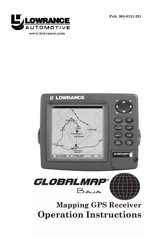
User manual LOWRANCE GLOBALMAP BAJA
Lastmanuals offers a socially driven service of sharing, storing and searching manuals related to use of hardware and software : user guide, owner's manual, quick start guide, technical datasheets... DON'T FORGET : ALWAYS READ THE USER GUIDE BEFORE BUYING !!!
If this document matches the user guide, instructions manual or user manual, feature sets, schematics you are looking for, download it now. Lastmanuals provides you a fast and easy access to the user manual LOWRANCE GLOBALMAP BAJA. We hope that this LOWRANCE GLOBALMAP BAJA user guide will be useful to you.
Lastmanuals help download the user guide LOWRANCE GLOBALMAP BAJA.
Manual abstract: user guide LOWRANCE GLOBALMAP BAJA
Detailed instructions for use are in the User's Guide.
[. . . ] 988-0151-231
www. lowrance. com
Mapping GPS Receiver
Operation Instructions
Copyright © 2004 Lowrance Electronics, Inc. No part of this manual may be copied, reproduced, republished, transmitted or distributed for any purpose, without prior written consent of Lowrance. Any unauthorized commercial distribution of this manual is strictly prohibited. GlobalMap Baja and Lowrance® are registered trademarks of Lowrance Electronics, Inc. [. . . ] Trails do not need to be visible in order to be active.
You can save and recall up to 10 different plot trails, which can also be copied to your MMC for archiving or for transfer to your MapCreate software.
Tip:
Another quick way to stop recording one trail and begin a new one is to use the New Trail command: Press MENU|MENU| to MY
TRAILS|ENT|ENT.
Caution: You also have the option of completely turning off trail recording, under the trail Options command. However, if the Update Active Trail option is left turned off, it will cancel the automatic trail creation feature.
Displaying a Saved Trail
The active trail is automatically displayed on the map (the "Visible" option) with the factory default settings. You can selectively turn trail display off and on for any saved or active trail. In the Saved Trails List, visible trails have a check mark in front of the trail name. Press | to enter the Saved Trail list, then use or to select the desired Trail Name|ENT. To return to the previous page, press EXIT|EXIT|EXIT|EXIT. Press | to enter the Saved Trail list, then use or to select the desired Trail Name|ENT. To return to the previous page, press EXIT|EXIT|EXIT|EXIT.
Navigating Trails
There are three methods for following a trail: visual trailing, navigating a trail (forward) and backtracking a trail (backward). Try each method to see which you prefer. It uses only the Map Page and requires no menu commands at all. The technique works the same if you are running a trail forward (from start to end) or backward (from end to start. ) However, visual trailing provides no navigation information during the trip, such as the time to your destination. The other two methods provide a full range of navigation data and work with both the Map Page and Navigation Page. The only difference between them is "navigating a trail" follows a trail forward (from start to end) while "backtracking" follows a trail in reverse (from end to start. ) When hiking at walking speed with a hand-held GPS, we often just use visual back trailing because it is a bit better at following each little turn on a foot path. At faster speeds, such as the highway or on the water, the Navigate Trail and Backtrack Trail commands are handy. On the Map Page, zoom (ZIN or ZOUT) so your flashing trail is visible. Simply walk or steer so that your current position arrow traces along the trail you have just made.
Tip:
Generally, when using this method, the smaller the zoom range, the more accurately you will be able to steer along the trail. Navigate a Trail (forward) The following figures illustrate the menu sequence for navigating a trail. Press | to enter the Saved Trail list, then use or to select the desired Trail Name|ENT. Press to DELETE TRAIL| to NAVIGATE|ENT. The unit begins showing navigation information along the trail. NOTE: If you are already located at or near the beginning of your trail, the arrival alarm will go off as soon as you hit Enter. Just press EXIT to clear the alarm and proceed. [. . . ] We reserve the right to do so without notice.
. . . in Canada:
If you're in Canada and you have technical, return or repair questions, please contact the Factory Customer Service Department. Before any product can be returned, you must call customer service to determine if a return is necessary. Many times, customer service can resolve your problem over the phone without sending your product to the factory. To call us, use the following toll-free number:
800-661-3983
905-629-1614 (not toll-free)
8 a. m. [. . . ]
DISCLAIMER TO DOWNLOAD THE USER GUIDE LOWRANCE GLOBALMAP BAJA Lastmanuals offers a socially driven service of sharing, storing and searching manuals related to use of hardware and software : user guide, owner's manual, quick start guide, technical datasheets...manual LOWRANCE GLOBALMAP BAJA


