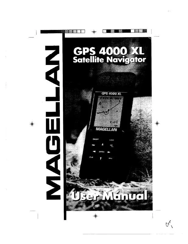
User manual MAGELLAN GPS 4000 XL
Lastmanuals offers a socially driven service of sharing, storing and searching manuals related to use of hardware and software : user guide, owner's manual, quick start guide, technical datasheets... DON'T FORGET : ALWAYS READ THE USER GUIDE BEFORE BUYING !!!
If this document matches the user guide, instructions manual or user manual, feature sets, schematics you are looking for, download it now. Lastmanuals provides you a fast and easy access to the user manual MAGELLAN GPS 4000 XL. We hope that this MAGELLAN GPS 4000 XL user guide will be useful to you.
Lastmanuals help download the user guide MAGELLAN GPS 4000 XL.
Manual abstract: user guide MAGELLAN GPS 4000 XL
Detailed instructions for use are in the User's Guide.
[. . . ] Use Care to Avoid Inaccuracies The Global Positioning System (GPS) is operated by the U. S. Government, which is solely responsible for the accuracy and the maintenance of GPS. Certain conditions can make the system less accurate.
No part of this Manual may be reproduced or transmitted in any form or by any means, electronic or mechanical, including photocopying and recording, for any purpose other than the purchaser's personal use, without the written permission of Magellan Corporation. © Copyright 2000 by Magellan Corporation. [. . . ] Continue pressing the LEFT/RIGHT ARROWs to step through the other legs in the route, eventually returning to the ROUTE SUMMARY screen.
Activating/Deactivating a Route
With a route in memory, press at the top of the display. Press
MENU ENTER
until ROUTE appears . If the route is currently active, the display indicates: ENT TO DEACTVATE. If the route is currently deactivated, the display indicates: ENT TO ACTIVATE. Pressing will activate or deactivate the route depending upon its present status. After a route is deactivated, the route summary is displayed. If a route is activated, the NAV screen is displayed.
20
ENTER
Deleting a Route
With a route in memory, press at the top of the display. Press
MENU ENTER
until ROUTE appears . While still viewing
the Route Summary screen, press the UP ARROW three times until the display indicates PRESS ENT TO DELETE. You will be prompted to confirm the deletion. Use
ENTER
the ARROWs to select YES or NO and press
.
Adding Legs to a Route
With a route in memory, press at the top of the display. Use the LEFT/RIGHT ARROW to select (flashing) YES to reverse or NO to cancel and press
ENTER
.
24
Additional Features
Viewing the Time and Date
You can view the current time and date (obtained from the satellites) by repeatedly pressing the is displayed at the top of the screen.
MENU
key until TIME
Viewing Elevation
You can view the last computed elevation for your GPS 310 by repeatedly pressing the
MENU
key until ELEVATION is
displayed at the top of the screen.
Viewing Battery Life
You can view the estimated battery life remaining by repeatedly pressing the
MENU
key until POWER is
displayed at the top of the screen.
Full Battery Life
40-60% Battery Life
Low Batteries
25
Changing Coordinate Systems
You may wish to change the coordinate system that your GPS 310 uses to display the position and landmarks coordinates. You have the following options: LAT/LON using degree/ minutes (DEGMIN), LAT/LON using degree/minutes/ seconds (DEGMINSEC), Universal Transverse Mercator (UTM), OSGB, Irish, Swiss, Swedish, Finnish, French, or German. The choice you make will depend upon the maps or charts you may be using. You want your GPS 310 to be displaying the coordinates in the same mode that your map or chart uses. The following example shows the same position in three different modes.
LAT/LON (DEGMIN)
LAT/LON (DEGMINSEC)
UTM
Press the
MENU
key until SETUP is displayed at the top of
ENTER
the screen and press
. Press
ENTER
again and the
currently used coordinate system begins to flash. Use the RIGHT/LEFT ARROWs to scroll through the list of coordinate systems and press
ENTER
when the desired system
ENTER
is displayed. Some coordinate systems require additional zone or format information. Use the arrow pad and select the proper zone or format.
26
to
Changing Map Datums
If you are using a map (or chart) in conjunction with your GPS 310 you need to insure that the datum used by the GPS 310 matches the one used in creating the map. The map datum can usually be found in the legend box of the map or chart. The GPS 310 offers the choices of WGS84 (default), NAD27, AUST 84, EUROPE 50, GRB 36, IRELAND, KKJ, RT90, S AMERICA 69, SWISS, FRENCH, GERMAN, and TOKYO. [. . . ] This will speed up the time it takes to get your first fix after shipment. Also, prior to shipping, you should loosen the battery door screw if you feel that your GPS 310 may be placed in an unpressurized area of an aircraft. Loosening the battery door will allow the GPS 310 to equalize to the pressure of the cargo area. Changes in pressure without the battery door loosened can cause damage to the water seals of your receiver.
48
Glossary
Active Leg Bearing The segment of a route currently being used to compute navigational information. [. . . ]
DISCLAIMER TO DOWNLOAD THE USER GUIDE MAGELLAN GPS 4000 XL Lastmanuals offers a socially driven service of sharing, storing and searching manuals related to use of hardware and software : user guide, owner's manual, quick start guide, technical datasheets...manual MAGELLAN GPS 4000 XL


