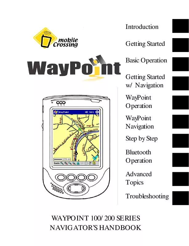
User manual MOBILE CROSSING WAYPOINT 200
Lastmanuals offers a socially driven service of sharing, storing and searching manuals related to use of hardware and software : user guide, owner's manual, quick start guide, technical datasheets... DON'T FORGET : ALWAYS READ THE USER GUIDE BEFORE BUYING !!!
If this document matches the user guide, instructions manual or user manual, feature sets, schematics you are looking for, download it now. Lastmanuals provides you a fast and easy access to the user manual MOBILE CROSSING WAYPOINT 200. We hope that this MOBILE CROSSING WAYPOINT 200 user guide will be useful to you.
Lastmanuals help download the user guide MOBILE CROSSING WAYPOINT 200.
You may also download the following manuals related to this product:
Manual abstract: user guide MOBILE CROSSING WAYPOINT 200
Detailed instructions for use are in the User's Guide.
[. . . ] Introduction Getting Started Basic Operation Getting Started w/ Navigation WayPoint Operation WayPoint Navigation Step by Step Bluetooth Operation Advanced Topics Troubleshooting
WAYPOINT 100/200 SERIES NAVIGATOR'S HANDBOOK
ii
WayPoint 100/200 series Navigator's Handbook
You can find additional product and support information at the following website: http://www. mobilecrossing. com or contact: Mobile Crossing 1230 Oakmead Parkway, Suite 304 Sunnyvale, CA 94085 (408) 738-8816 (800) 605-8198 Fax (408)738-8806 email: support@mobilecrossing. com
i
Copyright © 2004, 2005 Mobile Crossing - All rights reserved. Disclaimer: Mobile Crossing shall not be liable for any technical or editorial errors or omissions contained herein; or for incidental or consequential damages resulting from furnishing this material, or the performance or use of this product. Mobile Crossing reserves the right to change product specifications without notice. Information in this document may change without notice. [. . . ] Use Tools > Landmarks > Show locations to bring them up. You can select categories similar to the ones for points of interest or you can make up your own. Items can be edited or click to `goto' to center the location on the screen. It is then a simple matter to make it the destination using tap and hold. Once you have used find to pick your spot you can tap the detour button to bring up the Find Route form. It will have the destination you selected already filled in. Alternately you can use the Navigation > Find route command to automatically route to it by tapping ok.
The Route
Once you have generated a route you can look it over or just start following it. You can also revisit the Tools > Navigation > Find Route command to:
· · ·
save the route for future use. Recall a route you saved earlier.
Recall and reverse route do not try to use the whole route you set up earlier. Instead they simply use the start and finish points plus any `route through' points (described below) to generate a new route.
GUIDING THE ROUTER
If you don't like the route that the program chose you can request a modification. When a route is active you can click on a place on the map and tell the router you want to route through that location. Press and hold on the description to reach this choice. This is a powerful tool that will guide the router to go in the way you wish. These intermediate points are saved when you save the route so they are completely reusable. Multiple route through locations can be added to the route. Multiple locations would allow a complete route to be set up with multiple stops. When a route through location is determined a small circle is added to the road at that point. This circle can be tapped to remove the route through point if desired.
68
ROUTING OPTIONS
Another way to guide the router is through the Tools > Settings > Routing options. You have control over the router in that you can tell it how quick to produce results. Thus, you can trade off calculation speed that may not find the optimum route for a more exhaustive approach.
Freeway Use Neutral to Freeway use Prefer Freeway Avoid Freeway
Fastest Route Normally the best choice Good for travel through a bad neighborhood. Use for motorbikes.
Shortest Route Provides an alternate route. Good choice in outlying areas where the road classification may not be correct. [. . . ] Dilution of Position is a unitless number that represents how good the GPS solution is based on the current satellite positions. For horizontal DOP any number less than 2. 0 is very good. NMEA - National Marine Electronics Association. In this context NMEA is a standards body that defines the interface specification used by GPS receivers. [. . . ]
DISCLAIMER TO DOWNLOAD THE USER GUIDE MOBILE CROSSING WAYPOINT 200 Lastmanuals offers a socially driven service of sharing, storing and searching manuals related to use of hardware and software : user guide, owner's manual, quick start guide, technical datasheets...manual MOBILE CROSSING WAYPOINT 200


 MOBILE CROSSING WAYPOINT 200 QUICK START (481 ko)
 MOBILE CROSSING WAYPOINT 200 REFERENCE GUIDE (1531 ko)
