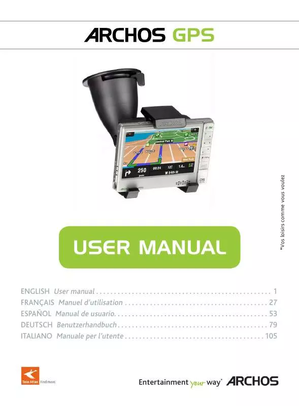
User manual ARCHOS 605 GPS
Lastmanuals offers a socially driven service of sharing, storing and searching manuals related to use of hardware and software : user guide, owner's manual, quick start guide, technical datasheets... DON'T FORGET : ALWAYS READ THE USER GUIDE BEFORE BUYING !!!
If this document matches the user guide, instructions manual or user manual, feature sets, schematics you are looking for, download it now. Lastmanuals provides you a fast and easy access to the user manual ARCHOS 605 GPS. We hope that this ARCHOS 605 GPS user guide will be useful to you.
Lastmanuals help download the user guide ARCHOS 605 GPS.
Manual abstract: user guide ARCHOS 605 GPS
Detailed instructions for use are in the User's Guide.
[. . . ] Security also includes placing or running cables in a safe manner and which will not get entangled in the steering wheel or other movable controls. Do no mount the device such that it could cause personal harm even in the case of an accident (in front of an airbag for example). Because the GPS cannot know all road changes, do not rely solely on GPS information, for example, the speed limit of the current road. Do not rely solely on the voice commands to guide you along your route. [. . . ] If you do not find your city, you can try to enter the address using a ZIP code (`Main menu' `Navigate to' `ZIP Code'). Using the history (qUickest Way) everytimearouteiscomputed, thedestinationisautomaticallystoredintothehistory. Theyappearassymbolsonthe map during your route. You can also choose to go to a POI in a specific city. Day / night color modes The GPS allows you to define planning preferences that will be used every time you compute a route. Define how you want to manage toll roads each time you compute a route: `Ask me every time', `Always avoid toll roads'or`Don't avoid toll roads'. The ARCHOS also allows you to avoid traffic and road blocks. avoiding traffic · For this to work, TMC (Traffic Message Channel) needs to be enabled (seechapter 6: Other Functions). By default, if the ARCHOS receives information concerning traffic problems on your current route, it will automatically compute a new route that will avoid the traffic. `Avoid Roadblock' *: allows you to define a road block. `Address':enteranaddress(country, city, street, number) `Favorite':selectadestinationfromyourfavorites `History':selectadestinationfromthehistory `Point of Interest':chooseapointofinterestasthedestination `ZIP Code':enterthedestinationaddressusingaZIpcode `Home':chooseyourhomeasthedestination `Point on Map':selectyourdestinationbyselectingitonthemap `Enter GPS position':entertheGpScoordinates(longitude, latitude) `City Center':bringsyoutothecenterofacity `POI in City': allows you to go to a point of interest in a specific city ': show a specific address on the map `Show current position':showyourcurrentpositiononthemap `Show entire route':showyourcomputedrouteonthemap `Show city': show a specific city on the map `Show/Hide POIs. Alternative roUte Thismenuallowsyoutocomputeanalternativerouteincaseyouencountersomethingunexpectedduring your trip (traffic, road block, etc. It is available only if you have computed a route. ': allows you to define a road block. ': allows you to travel via a specific location (city, address, etc. `Set to 2D (flat) view / Set 3D view':switchesbetween2dand3dviewmodes `Set night colors / Set automatic colors / Set daylight colors':selectyourpreferredcolormode `Disable sounds / Enable sounds':enables/disablesallsounds(voice, warnings, etc. `Set language':selectthelanguagethatwillbeusedonthescreen `Set voice':selectthevoicelanguage `Set home location': allows you to define your home address `Quick Guides': several quick guides briefly describe the main functions of the GPS `About ARCHOS GPS':informationabouttheGpSsoftware `Signpost settings': define how you want the direction signs to appear on the navigation screen `Show all incidents': displays all traffic incidents on the map `Incidents on route': displays all the traffic incidents located on your route `Optimize route': the ARCHOS will generate a new route that will avoid traffic incidents `Options':allowyoutochangeseveralparameters(automaticrouterecomputing, automaticupdate, etc. Itinerary This menu allows you to follow an already created itinerary or define an itinerary with multiple stopping points. Tapon`Done' when you have finished creating your itinerary. ':allowsyoutoaddanewpointofinterest(forexampleafriend'shouse) `Edit POI name':allowsyoutoeditthenameofapOI `Delete POI':allowsyoudeleteapOI `Delete POI category':allowsyoudeleteapOIcategory `Show/hide POIs':allowsyouselectwhichpOIstobedisplayedonthemap `Warn when near POI':allowsyoutosetanaudiblewarningwhenyouareatacertaindistancefrom a specific POI (for example when you are approaching a restaurant) Extras In this menu, you will find several tools such as a world clock, a calculator, a unit converter and roadway information in specific countries. Depending on your country and your location, there are FM radio stations that transmit traffic information along with the regular programming. Some traffic information is free of charge while other traffic information services, which typically offer a wider range of traffic info, must be purchased. [. . . ] ©norwegianMappingAuthority, publicRoadsAdministration/©Mapsolutions ©dAV This product includes mapping data licensed from Ordnance Survey with the permission of the Controller of Her Majesty's Stationery Office. B) The licensed Products are the confidential information of Tele Atlas (TA) and other parties and it is expressly prohibited to disclose this informationtothirdparties. E) The covenants and obligations undertaken by the End User herein are intended for the direct benefit of Tele Atlas and ARCHOS and may be enforcedbyanyoralloftheseentitiesagainsttheenduser. Government Users Iftheenduserisanagency, department, orotherentityoftheunitedStatesGovernment, orfundedinwholeorinpartbytheunitedStates Government, then use, duplication, reproduction, release, modification, disclosure or transfer of this commercial product and accompanying documentation, is restricted in accordance with the lIMITed or ReSTRICTed rights as described in dfARS 252. [. . . ]
DISCLAIMER TO DOWNLOAD THE USER GUIDE ARCHOS 605 GPS Lastmanuals offers a socially driven service of sharing, storing and searching manuals related to use of hardware and software : user guide, owner's manual, quick start guide, technical datasheets...manual ARCHOS 605 GPS


