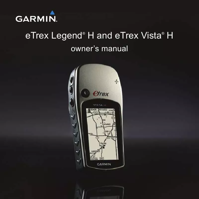
User manual GARMIN ETREX VISTA H
Lastmanuals offers a socially driven service of sharing, storing and searching manuals related to use of hardware and software : user guide, owner's manual, quick start guide, technical datasheets... DON'T FORGET : ALWAYS READ THE USER GUIDE BEFORE BUYING !!!
If this document matches the user guide, instructions manual or user manual, feature sets, schematics you are looking for, download it now. Lastmanuals provides you a fast and easy access to the user manual GARMIN ETREX VISTA H. We hope that this GARMIN ETREX VISTA H user guide will be useful to you.
Lastmanuals help download the user guide GARMIN ETREX VISTA H.
You may also download the following manuals related to this product:
Manual abstract: user guide GARMIN ETREX VISTA H
Detailed instructions for use are in the User's Guide.
[. . . ] eTrex Legend H and eTrex Vista H
® ®
owner's manual
© 2008 Garmin Ltd. or its subsidiaries Garmin International, Inc. 1200 East 151st Street, Olathe, Kansas 66062, USA Tel. (913) 397. 8200 or (800) 800. 1020 Fax (913) 397. 8282 Garmin (Europe) Ltd. [. . . ] From the Routes page, select a saved route. Press QUIT to view the list of turns on the route. Use the ROCKER to scroll through all turns.
Editing a Route
Navigating a Route
To navigate a saved route: 1. To stop navigating, press MENU > Stop Navigation.
Use the Route page to edit, change the route name, and review route points.
To change the name of the route: 1. Press MENU twice > Routes.
eTrex Legend H and eTrex Vista H Owner's Manual
Basic Operation
2. Select a saved route > select the route name field at the top of the Route page. 2 Select a saved route > select a point on the Route page > press the ROCKER > Review. To delete a route: From the page for that route press MENU > Delete Route. To select the off-road transition for a route: 1. Select Off Road Transition > Route Leg Transition.
3. Select Manual (or Distance) when advancing to the next point.
Select Distance to enter a radius, so that when within the entered distance, you are lead to the next point. Select Manual to transition to the next point anytime while navigating a route.
eTrex Legend H and eTrex Vista H Owner's Manual
Main Pages
Main Pages
The eTrex Vista H has four main pages: Map page, Compass page, Altimeter page, and the Main Menu. The eTrex Legend H does not have the Altimeter page. Cycle through these pages by pressing QUIT. The Active Route page appears in the sequence when you are actively navigating a route. The Satellite page appears only at start up. To view the options menu for a page, press MENU.
Map Page
Compass Page
Altimeter Page
Main Menu
0
eTrex Legend H and eTrex Vista H Owner's Manual
Main Pages
Satellite Page
This page appears when you turn the unit on and is accessed from the Main Menu thereafter.
· GPS Elevation--shows your current elevation.
Map Page
Satellite Page Options
· Use With GPS Off/On-- enables you to turn the GPS receiver on or off. · Track Up/North Up-- indicates whether satellites are shown with the rings oriented with North toward the top of the display or your current track toward the top of the screen. · New Location--use if you have moved the unit more than 600 miles (1, 000 km).
A built-in basemap that includes cities, interstates, state and county highways, exit information, and lake and river outlines is shown on this page. Increased road detail, points of interest and mapping data is added when using optional MapSource detailed mapping data. Two map operating modes, position mode and pan mode, determine what is shown on the map display. Position mode pans the map to keep your present location in the
eTrex Legend H and eTrex Vista H Owner's Manual
Main Pages
display area. [. . . ] DoD imposed Selective Availability (SA) Program when activated.
DGPS: 10 ft. (3. 3 m) 95% typical*
Wide Area Augmentation System (WAAS) accuracy in North America.
*
Velocity: 0. 1 meter/sec steady state Interfaces: Garmin Proprietary (USB) Data Storage Life: Indefinite; no memory battery required Map Storage: 24 MB
eTrex Legend H and eTrex Vista H Owner's Manual
Appendix
Connecting Your eTrex to a Computer
You can connect the eTrex to your computer using the supplied USB cable. Before transferring data to the eTrex, install USB drivers from www. garmin. com. Click on Support > Updates and Downloads > Additional Software > USB Drivers.
To connect your eTrex to your computer: 1. [. . . ]
DISCLAIMER TO DOWNLOAD THE USER GUIDE GARMIN ETREX VISTA H Lastmanuals offers a socially driven service of sharing, storing and searching manuals related to use of hardware and software : user guide, owner's manual, quick start guide, technical datasheets...manual GARMIN ETREX VISTA H


 GARMIN ETREX VISTA H QUICK REFERENCE GUIDE (451 ko)
 GARMIN ETREX VISTA H IMPORTANT SAFETY AND PRODUCT INFORMATION (1129 ko)
