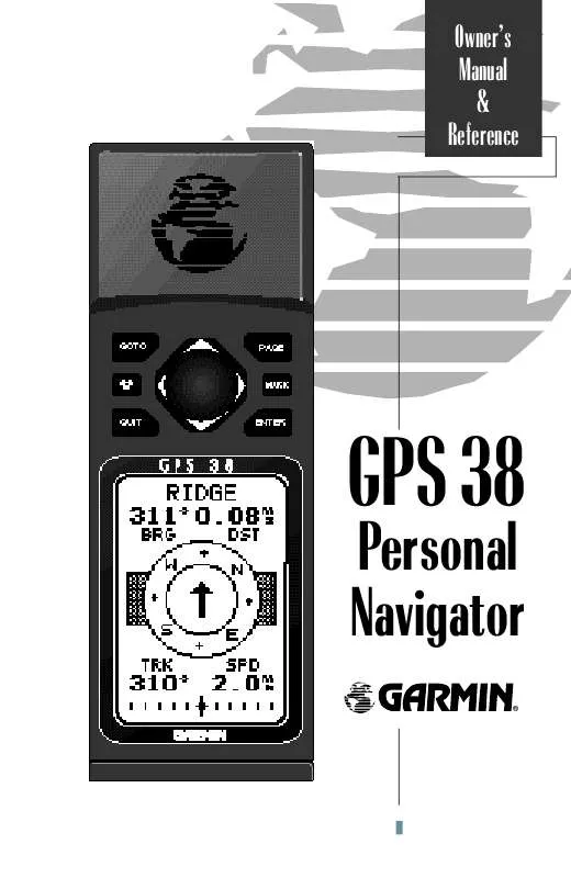
User manual GARMIN GPS 38
Lastmanuals offers a socially driven service of sharing, storing and searching manuals related to use of hardware and software : user guide, owner's manual, quick start guide, technical datasheets... DON'T FORGET : ALWAYS READ THE USER GUIDE BEFORE BUYING !!!
If this document matches the user guide, instructions manual or user manual, feature sets, schematics you are looking for, download it now. Lastmanuals provides you a fast and easy access to the user manual GARMIN GPS 38. We hope that this GARMIN GPS 38 user guide will be useful to you.
Lastmanuals help download the user guide GARMIN GPS 38.
You may also download the following manuals related to this product:
Manual abstract: user guide GARMIN GPS 38
Detailed instructions for use are in the User's Guide.
[. . . ] Owner's Manual & Reference
GPS 38
Personal Navigator
®
Software Version 3. 0 or above © 1997 GARMINCorporation 1200 E. 151st Street, Olathe, KS USA 66062 Tel: 913-397-8200 or 800-800-1020 Fax: 913-397-8282 Web Site Address: www. garmin. com GARMIN (Europe) Ltd. Unit 5, The Quadrangle, Abbey Park, Romsey, U. K. SO51 9AQ Tel: 011-44-1794-519944 Fax: 011-44-1794-519222 All rights reserved. [. . . ] · Whenever a TracBack route is activated, the receiver will automatically erase any temporary waypoints (e. g. , `T001') that are not contained in routes 1-19. If there are temporary waypoints stored in routes 1-19, the receiver will create any new temporary waypoints using the first three digit number available.
30
Creating and Navigating Routes The last form of navigating to a destination with the GPS 38 is by creating a user-defined route. The route navigation feature lets you plan and navigate a course from one place to another using a set of pre-defined waypoints. Routes are often used when it's not practical, safe or possible to navigate a direct course to a particular destination (e. g. , through a body of water or impassable terrain). Routes are broken down and navigated in smaller segments called "legs". The waypoint you are going to in a leg is called the "active to" waypoint, and the waypoint immediately behind you is called the "active from" waypoint. The line between the "active to" and the "active from" waypoint is called the "active leg".
REFERENCE
Route Navigation
Waypoint 2
("active to" waypoint)
"Active Leg"
Waypoint 1
("active from" waypoint)
Whenever you activate a route with the GPS 38, it will automatically select the route leg closest to your position as the active leg. As you pass each waypoint in the route, the receiver will automatically sequence and select the next waypoint as the "active to" waypoint.
31
REFERENCE
Route Definition Page The GPS 38 lets you create and store up to 20 routes of 30 waypoints each. Routes are created, copied, and edited through the route definition page, which is accessed through the Menu Page.
To select the route definition page:
1. Press the E key to display the route definition page. To return to the Menu Page, press P.
Comment Field Route Number
Creating A Route
If you're heading out without a planned route, the mark function can be used to quickly create a route back to your starting point. Create a series of waypoints along the way with the MARK key and save them to an open route from the mark position page. When you're ready to head back, simply activate the route you created in inverted order (see page 34).
Leg Distance Desired Track of Leg Total Distance Copy Field Function Prompts
The route number field is displayed at the top of the page, with a 16-character user comment below. If no user comment is entered, the field will display the first and last waypoint in the route. The waypoint list in the middle of the page accepts up to 30 waypoints for each route, with fields for desired track and distance between waypoints. The total distance of the route is indicated below the waypoint list. The bottom of the route definition page features several function fields which let you copy, clear, invert, or activate the displayed route. Routes 1-19 are used as storage routes, with route 0 always serving as the active route you are navigating. If you want to save a route currently in route 0, be sure to copy it to another open route, as it will be overwritten by the next route activation.
32
To create a route from the route definition page:
1. Highlight the route number field and press E. Enter a route number and press the E key to confirm. Press E to begin entry of a route comment. [. . . ] Other receivers with the correct RTCM format may be used, but may not correctly display status or allow tuning control from the GPS 38. Approved sentences: GPGGA, GPGLL, GPGSA, GPGSV, GPRMB, GPRMC, GPRTE, GPWPL, GPBOD Proprietary sentences: PGRME (estimated error), PGRMM (map datum), PGRMZ (altitude), PSLIB (beacon receiver control)
59
APPENDIX D
D
DGPS Interface . . 2 Displaying Items on the Map Page . 49 Distance and Sun Calculation . . ii Clearing a Cluttered Map Display . 16 CMG (defined) . [. . . ]
DISCLAIMER TO DOWNLOAD THE USER GUIDE GARMIN GPS 38 Lastmanuals offers a socially driven service of sharing, storing and searching manuals related to use of hardware and software : user guide, owner's manual, quick start guide, technical datasheets...manual GARMIN GPS 38


 GARMIN GPS 38 Release Note (115 ko)
