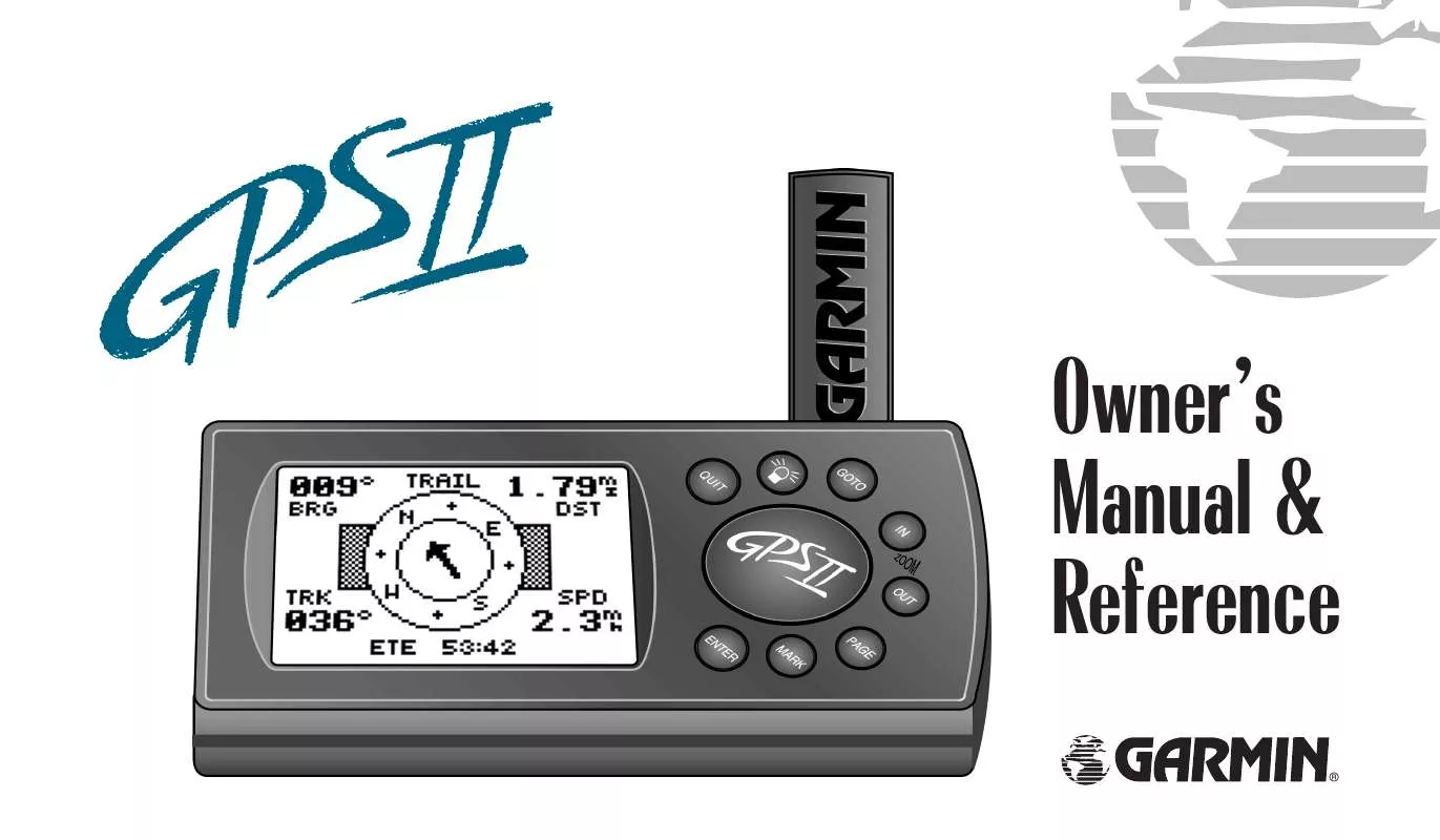
User manual GARMIN GPS II
Lastmanuals offers a socially driven service of sharing, storing and searching manuals related to use of hardware and software : user guide, owner's manual, quick start guide, technical datasheets... DON'T FORGET : ALWAYS READ THE USER GUIDE BEFORE BUYING !!!
If this document matches the user guide, instructions manual or user manual, feature sets, schematics you are looking for, download it now. Lastmanuals provides you a fast and easy access to the user manual GARMIN GPS II. We hope that this GARMIN GPS II user guide will be useful to you.
Lastmanuals help download the user guide GARMIN GPS II.
You may also download the following manuals related to this product:
Manual abstract: user guide GARMIN GPS II
Detailed instructions for use are in the User's Guide.
[. . . ] Owner's Manual & Reference
®
Software Version 2. 0 or above © 1996 GARMINCorporation, 1200 E. 151st Street, Olathe, Kansas66062 USA GARMIN(Europe), Unit 5, The Quadrangle, Abbey Park, Romsey, Hampshire SO51 9AQ UK All rights reserved. No part of this manual may be reproduced or transmitted in any form or by any means, electronic or manual, including photocopying and recording, for any purpose without the express written permission of GARMIN. Information in this document is subject to change without notice. [. . . ] The waypoint list on the left side of the page accepts up to 30 waypoints for each route, with fields for desired track and distance between legs. The total distance of the route is indicated below the waypoint list.
Fig. 47b
47
REFERENCE
Creating and Navigating Routes To create a route from the route definition page:
1. Highlight the `route number' field, and press ENTER. (Only open routes will be available. ) 3. Press ENTER to begin entry of a route comment, if desired (Fig. Enter your comment, and press the ENTER key. Enter the first waypoint of your route, and press ENTER. As you continue entering the rest of your waypoints, the list will automatically scroll down as needed (Fig. 48b
48
Just like the Tracback feature, routes are broken down and navigated in smaller segments called `legs'. The waypoint you're going to in a leg is called the `active to' waypoint, and the waypoint immediately behind you is called the `active from' waypoint. The line between the active to and the active from waypoint is called the `active leg'. Whenever you activate a route, it will automatically select the route leg closest to your position as the active leg. As you pass each waypoint in the route, the receiver will automatically sequence and select the next waypoint as the active to waypoint.
REFERENCE
Activating and Inverting Routes After a route has been entered, it can be either activated in sequence or inverted from the route definition page. The process of activating or inverting a stored route takes a storage route (routes 1-19) and copies it into the active route (route 0) for navigation. The storage route is now no longer needed and will be retained in its original format under its existing route number. This system allows you to have an active route that you may edit during navigation and save as an entirely new route from the original. You will have to copy the active route to an unused storage route to save it, since new route or TracBack activation overwrites route 0. From the route definition page, highlight the `route number' field. Enter the route number to be activated, and press ENTER. 49a
To activate a route in inverted order:
1. Follow the steps above, but select `INV?' (Fig. [. . . ] Rep. , Grand Cayman, Jamaica, Leeward and Turks Islands) Mahe 1971 Marco Astro Massawa Merchich Midway Ast `61 Minna NAD27 Alaska NAD27 Bahamas North American 1927- Central America (Belize, Costa Rica, El Salvador, Guatemala, Honduras, Nicaragua) North Am. 1927- Mean Value North American 1927- Cuba North American 1927Greenland (Hayes Peninsula) N. American 1927- Mexico North American 1927- San Salvador Island North American 1983- Alaska, Canada, Central America, CONUS, Mexico Nahrwn- Masirah Island (Oman) Nahrwn- Saudi Arabia Nahrwn- United Arab Emirates Naparima BWI- Trinidad and Tobago Observatorio 1966- Corvo and Flores Islands (Azores)
NAD27 CONUS NAD27 Cuba NAD27 Grnland NAD27 Mexico NAD27 San Sal NAD83 Nhrwn Masirah Nhrwn Saudi A Nhrwn United A Naparima BWI Obsrvtorio `66
94
APPENDIX F
Map Datums (cont. )
Old Egyptian Old Hawaiian Oman Ord Srvy GB Pico De Las Nv Ptcairn Ast `67 Prov S Am `56 Prov S Chln `63 Puerto Rico Qatar National Qornoq Reunion Rome 1940 RT 90 Santo (Dos) Sao Braz Old Egyptian- Egypt Old Hawaiian- Mean Value Oman- Oman Old Survey Grt Britn- England, Isle of Man, Scotland, Shetland Isl. , Wales Canary Islands Pitcairn Astro `67- Pitcairn Isl. Prov So Amricn `56- Bolivia, Chile, Colombia, Ecuador, Guyana, Peru, Venezuela Prov So Chilean `63- S. [. . . ]
DISCLAIMER TO DOWNLOAD THE USER GUIDE GARMIN GPS II Lastmanuals offers a socially driven service of sharing, storing and searching manuals related to use of hardware and software : user guide, owner's manual, quick start guide, technical datasheets...manual GARMIN GPS II


 GARMIN GPS II (714 ko)
 GARMIN GPS II Release Note (115 ko)
