Detailed instructions for use are in the User's Guide.
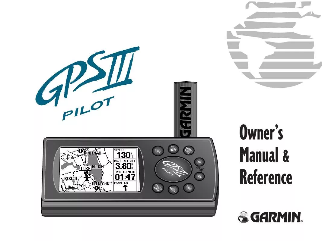
[. . . ] Owner's Manual & Reference
®
Software Version 2. 05 or above GARMIN International, Inc. , 1200 E. 151st Street, Olathe, Kansas 66062 USA Tel: 913-397-8200 Fax: 913-397-8282 GARMIN (Europe) Ltd. , Unit 5, The Quadrangle, Abbey Park Industrial Estate, Romsey SO51 9AQ UK Tel: 011-44-1794-519944 Fax: 011-44-1794-519222 GARMIN (Asia) Corp. , 3F, No. 1, Lane 45, Pao-Hsing Road, Hsin Tien, Taipei, Taiwan R. O. C. Tel: 011-886-02-2917-3773 Fax: 011-886-02-2917-1758 Web Site Address: www. garmin. com © 1997-1999 GARMIN Corporation All rights reserved. Except as expressly provided herin, no part of this manual may be reproduced, copied, transmitted, disseminated or stored in any storage medium, for any purpose without the express written permission of GARMIN. [. . . ] In the United States, the prefix letter for airports is `K'. This applies to airport identifiers that are letters only. For example, `LAX' becomes `KLAX' and `JFK' becomes `KJFK'. Airport identifiers that use numbers, such as `H34' or `7M5', do not use the `K' prefix. Some waypoints in the database may have the same identifier. When you have entered a waypoint name that is not unique, a Duplicate Waypoint Page appears, prompting you to select the desired waypoint. A list showing each duplicate by waypoint category and region/country makes it easy to identify the correct one. To select the desired waypoint from a list of duplicates, highlight the desired waypoint and press ENTER.
If more than one waypoint uses the same identifier, the Duplicate Waypoint Page allows you to choose the correct one. 49
REFERENCE
Waypoint Information Pages The `Airport', `VOR' and `NDB' information pages also allow you to retrieve the desired waypoint by entering the facility name or the city name. To select the desired waypoint, by facility or city name:
1. Use the rocker keypad to highlight the facility name or city name field. Use the rocker keypad to enter the desired name--UP/DOWN to change each character and RIGHT to move to the next character. As the name is entered, the GPS III Pilot will scroll through the database, displaying any waypoints with the same letters you have entered to that point. In some instances there may be more than one waypoint with the desired name. (This often occurs when searching by city name. ) To view all waypoints with the desired name, continue spelling the name with the rocker keypad. Once the name appears on-screen, continue to press UP/DOWN on the rocker keypad to view all entries for that name. When the desired waypoint is displayed, press ENTER.
Airports, VORs and NDBs can also be selected by the facility's name or the city where the facility is located.
50
The Airport Information Page includes airport position coordinates, field elevation and available fuels. This page will also indicate if the facility is public use or military.
Airport Information Page The Airport Information Page displays the identifier, facility name, city, position, elevation and available fuels for the selected airport. Position and elevation information will be in the format specified on the Setup pages (see page 77). Available fuel can be any of the following types: · AV -- AVGAS: 80-87 octane, 100LL, 100-130 octane · JET -- Jet A, Jet A-1, Jet A+ · MO -- MOGAS: 87 octane unleaded
REFERENCE
Runway Information Page Waypoint Information Pages The Runway Information Page displays the identifier, designations, length, width, surface type and lighting information for the selected airport. This page also provides a graphic diagram of the runways and a map of the surrounding area. The surface type information can be any one of: hard, turf, sealed, gravel, dirt, soft, unknown, or water. [. . . ] Speed--The current velocity at which you are travelling, relative to a ground position. Also referred to as `ground speed'. Time To--The estimated time required to reach a GOTO destination, or the next waypoint in a route. Also referred to as `estimated time enroute'.
98
APPENDIX G
Time to Dest--The estimated time required to reach a GOTO destination, or the final waypoint in a route. [. . . ]


 GARMIN GPS III (998 ko)
 GARMIN GPS III Release Note (115 ko)
