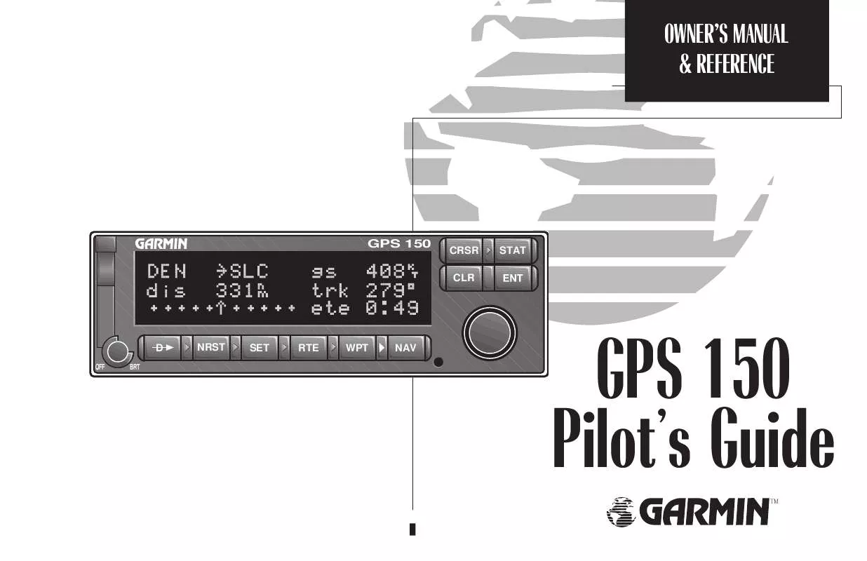
User manual GARMIN GPS 150
Lastmanuals offers a socially driven service of sharing, storing and searching manuals related to use of hardware and software : user guide, owner's manual, quick start guide, technical datasheets... DON'T FORGET : ALWAYS READ THE USER GUIDE BEFORE BUYING !!!
If this document matches the user guide, instructions manual or user manual, feature sets, schematics you are looking for, download it now. Lastmanuals provides you a fast and easy access to the user manual GARMIN GPS 150. We hope that this GARMIN GPS 150 user guide will be useful to you.
Lastmanuals help download the user guide GARMIN GPS 150.
You may also download the following manuals related to this product:
Manual abstract: user guide GARMIN GPS 150
Detailed instructions for use are in the User's Guide.
[. . . ] OWNER'S MANUAL & REFERENCE
GPS 150
v v
CRSR CLR
STAT
D
OFF BRT
NRST
SET
RTE
WPT
NAV
GPS 150 Pilot's Guide
TM
v
v
v v
v
v
INTRODUCTION
Foreword
Software Version 3. 00 or above
© 1997 GARMIN Corporation 1200 E. 151st Street, Olathe, KS USA 66062 GARMIN (Europe) LTD Unit 5, The Quadrangle, Abbey Park Industrial Estate, Romsey, U. K. No part of this manual may be reproduced or transmitted in any form or by any means, electronic or mechanical, including photocopying and recording, for any purpose without the express written permission of GARMIN Corporation.
GARMINTM, GPS 150TM, AutoLocateTM, MultiTrac8TM and AutoStoreTM are trademarks of GARMIN Corporation and may only be used with permission. All rights reserved.
Information in this document is subject to change without notice. [. . . ] Press E to accept.
AutoStore page
Section
2
If the waypoint name is already used, you will be informed with the message `WPT exists ____'. The default waypoint number will be redisplayed. The waypoint will be added to the end of the route you select, or none, if the field is left blank. If the route you choose already contains 31 waypoints, you will be informed with a `Route is full' message. If this occurs, select another route to add waypoints. User Comments on Waypoints All of the waypoint types contain pages for the user to enter up to two lines of comments for later reference. You may add comments on up to 250 waypoints, which are saved even when the unit is off.
To enter user comments from any of the waypoint pages:
Changing the waypoint name and route number.
User comments on KLAX.
1. Rotate O while the cursor is not flashing until the `Comments' page is displayed. Press C and rotate O to highlight the comment you would like to edit, or the blank field to enter a new one.
36
3. Press E to accept, and repeat, if desired, to enter information on another line. Press C to complete.
REFERENCE
Proximity Waypoints
Proximity Waypoints The GPS 150 will allow you to enter up to 9 proximity waypoints, which will display an alert message when you come within a user entered distance of them.
To create or edit a proximity waypoint: 1. Press W and rotate O until the Proximity Waypoint page is displayed. Press C and rotate O to highlight the first available field to create a new one, or the desired proximity waypoint. It may be an airport, VOR, NDB, intersection, or user waypoint. Press E.
Proximity Waypoint page
Section
2
This will display the Waypoint Confirmation page. Use K and O to enter the distance away from the waypoint that you wish to be alerted. Press E.
Proximity Waypoint page
If you enter two proximity waypoints whose alert regions overlap, you will be informed with the message `Proximity overlap'. This message will be displayed each time you turn on the GPS 150 as long as the overlap remains. WARNING: If you enter the overlap area you will only be informed of the nearest proximity waypoint.
Proximity alarm
37
REFERENCE
Proximity Waypoints & User Waypoint Catalog
To delete a waypoint from the Proximity Waypoints page: 1. Rotate K to display the waypoint you would like to remove. Press C, if necessary, to obtain a cursor. Rotate O to highlight the waypoint you would like to remove. [. . . ] Allow the unit to complete data collection before turning it off. Start altitude chng - The altitude change entered on the VNAV Planning page is about to begin. Steep turn ahead - This message appears approximately one minute prior to a turn that requires a bank angle in excess of 25 degrees in order to stay on course. Stored data lost - Stored user data, including waypoints, routes and satellite orbital data have been lost due to a low memory battery, or inadvertant master reset. [. . . ]
DISCLAIMER TO DOWNLOAD THE USER GUIDE GARMIN GPS 150 Lastmanuals offers a socially driven service of sharing, storing and searching manuals related to use of hardware and software : user guide, owner's manual, quick start guide, technical datasheets...manual GARMIN GPS 150


 GARMIN GPS 150 PILOT'S GUIDE (672 ko)
 GARMIN GPS 150 Install Guide (499 ko)
 GARMIN GPS 150 INSTALLATION MANUAL (499 ko)
