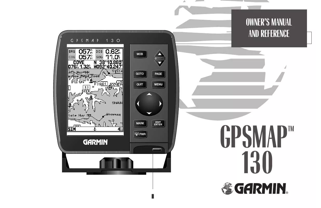
User manual GARMIN GPSMAP 130
Lastmanuals offers a socially driven service of sharing, storing and searching manuals related to use of hardware and software : user guide, owner's manual, quick start guide, technical datasheets... DON'T FORGET : ALWAYS READ THE USER GUIDE BEFORE BUYING !!!
If this document matches the user guide, instructions manual or user manual, feature sets, schematics you are looking for, download it now. Lastmanuals provides you a fast and easy access to the user manual GARMIN GPSMAP 130. We hope that this GARMIN GPSMAP 130 user guide will be useful to you.
Lastmanuals help download the user guide GARMIN GPSMAP 130.
You may also download the following manuals related to this product:
Manual abstract: user guide GARMIN GPSMAP 130
Detailed instructions for use are in the User's Guide.
[. . . ] OWNER'S MANUAL AND REFERENCE
GPSMAP 130
TM
®
INTRODUCTION
Software Version 2. 22 or above Internal Database Version 2. 01 © Navionics Corporation G-chartTM cartridge data is copyrighted by Navionics Corporation and GARMIN International and may not be copied or used for any other purpose without permission. © 1996 GARMIN International 1200 E. 151st Street, Olathe, KS 66062, USA GARMIN (Europe) LTD Unit 5, The Quadrangle, Abbey Park Industrial Estate, Romsey, SO51 9AQ, UK All rights reserved. No part of this manual may be reproduced or transmitted in any form or by any means, electronic or manual, including photocopying and recording, for any purpose without the express written permission of GARMIN. [. . . ] The cursor's coordinates, along with the distance and bearing from the waypoint's position, will be displayed at the top of the map display. Press T to set the waypoint's new position, and Q to return to the waypoint definition page.
A
B A. To review or edit a waypoint on the map display, select the `Edit Wpt On Map?' option. To move the selected waypoint, press EDIT/ENTER. Use the arrow keypad to select the new position, and press EDIT/ENTER to finish.
To rename the selected waypoint:
1. Highlight the `Rename Waypoint?' option and press T. Enter the new waypoint name and press T. Press T to confirm the `Yes' prompt.
To delete the selected waypoint:
1. Highlight the `Delete Waypoint?' option and press T. Press T to confirm.
39
SECTION
6
WAYPOINTS
Waypoint Submenus/ Nearest Waypoints
Waypoint Submenus The GPSMAP 130's main menu page features four waypoint submenus that let you manage a large number of waypoints quickly and efficiently. The submenus also provide a continuously updated nearest waypoints list and a proximity waypoint alarm function that can be used to define an alarm circle around submerged hazards, shallow waters, etc.
To access the main menu page/waypoint submenus:
1. Press O twice.
The first waypoint submenu is the nearest waypoints list, which shows the nine nearest waypoints that are within 100 miles of your present position. The nearest waypoints are continuously updated to your present position, and provide quick access to the closest points of safety in emergency situations.
To scroll through and review the nearest waypoint list:
1. Highlight the `Nearest Waypoints' option and press T.
A
B A. The main menu page features four waypoint submenus. The nearest waypoint list continuously updates to show the nine nearest waypoints to your present position.
2. Use the R keypad to scroll through the list in either direction. Press T to review the highlighted waypoint. To return to the waypoint list, highlight the `Done?' prompt and press T. The field highlight will automatically scroll to the next waypoint. If you want to review each waypoint, you can scroll through any waypoint list by pressing the T key repeatedly.
To select a nearest waypoint as a GOTO destination:
1. Use the R key to select the desired GOTO waypoint. [. . . ] American `69- Argentina, Bolivia, Brazil, Chile, Colombia, Ecuador, Guyana, Paraguay, Peru, Venezuela, Trin/Tobago South Asia- Singapore Southeast Base- Porto Santo and Madiera Islands Southwest Base- Faial, Graciosa, Pico, Sao Jorge and Terceira Islands Timbalai 1948- Brunei and E. Malaysia (Sarawak and Sabah) Tokyo- Japan, Korea, Okinawa Tristan Astro 1968- Tristan da Cunha Viti Levu 1916- Viti Levu/ Fiji Islands Wake-Eniwetok- Marshall World Geodetic System 72 World Geodetic System 84 Zanderij- Surinam
76
Almanac Data--The satellite constellation information (including location and health of satellites) that is transmitted to your receiver from every GPS satellite. Almanac data must be acquired before GPS navigation can begin. Bearing (BRG)--The compass direction from your position to a destination. [. . . ]
DISCLAIMER TO DOWNLOAD THE USER GUIDE GARMIN GPSMAP 130 Lastmanuals offers a socially driven service of sharing, storing and searching manuals related to use of hardware and software : user guide, owner's manual, quick start guide, technical datasheets...manual GARMIN GPSMAP 130


 GARMIN GPSMAP 130 (857 ko)
