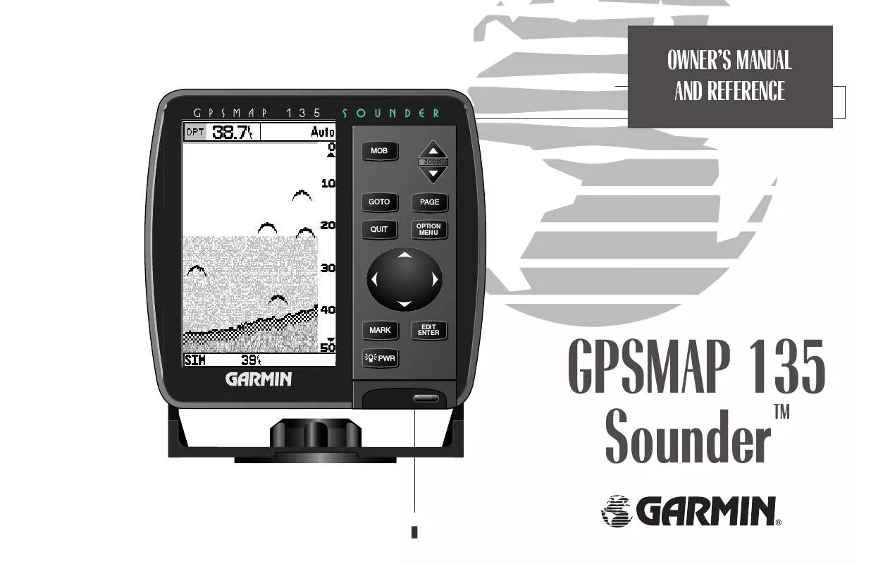
User manual GARMIN GPSMAP 135 SOUNDER
Lastmanuals offers a socially driven service of sharing, storing and searching manuals related to use of hardware and software : user guide, owner's manual, quick start guide, technical datasheets... DON'T FORGET : ALWAYS READ THE USER GUIDE BEFORE BUYING !!!
If this document matches the user guide, instructions manual or user manual, feature sets, schematics you are looking for, download it now. Lastmanuals provides you a fast and easy access to the user manual GARMIN GPSMAP 135 SOUNDER. We hope that this GARMIN GPSMAP 135 SOUNDER user guide will be useful to you.
Lastmanuals help download the user guide GARMIN GPSMAP 135 SOUNDER.
You may also download the following manuals related to this product:
Manual abstract: user guide GARMIN GPSMAP 135 SOUNDER
Detailed instructions for use are in the User's Guide.
[. . . ] OWNER'S MANUAL AND REFERENCE
ZOOM
OPTION MENU
EDIT ENTER
GPSMAP 135 Sounder
TM
®
Software Version 2. 30 or above, Internal Database Version 2. 01 © Navionics Corporation G-chart cartridge data is copyrighted by Navionics Corporation and GARMIN Corporation and may not be copied or used for any other purpose without permission. 151st Street, Olathe, KS USA 66062 Tel: 913-397-8200 or 800-800-1020 Fax: 913-397-8282 Web Site Address: www. garmin. com GARMIN (Europe) LTD Unit 5, The Quadrangle, Abbey Park Industrial Estate, Romsey, UK SO51 9AQ, Tel: 011-44-1794-519944 Fax: 011-44-1794-519222 All rights reserved. No part of this manual may be reproduced or transmitted in any form or by any means, electronic or manual, including photocopying and recording, for any purpose without the express written permission of GARMIN. Information in this document is subject to change without notice. [. . . ] The top half of the nav page features four user-selectable data fields that display the bearing (BRG) and distance (DIS) to waypoint, along with your current course (COG) and speed over ground (SOG). In addition, there is a moving compass tape to indicate the direction you're heading. Two additional data fields at the bottom of the page show the estimated time enroute (ETE) and velocity made good (VMG) to your destination. The middle section of the screen provides visual guidance to the waypoint on a graphic highway display. The line down the center of the highway represents your desired track, while a graphic indication of the distance and direction you are off course is shown on a scale at the bottom right of the page (the selected scale represents the distance from side to side). The arrow pointer below the highway always points to the destination waypoint relative to the direction you are moving.
The navigation page can be configured to show the active waypoint, all route waypoints and/or nearby waypoints on the graphic highway.
45
SECTION
5
NAVIGATION PAGE
Highway Scale & Nav Page Options
A
B A. To change the highway scale perspective, press the ZOOM keys. The navigation options page lets you set up the navigation page to your own preferences.
As you head toward your destination, the highway perspective will move to indicate your progress to the waypoint and which direction you should steer to stay on course. If you are navigating a route, the navigation page will show each route waypoint in sequence, with the active leg indicated by the white portion of the highway. Nearby waypoints not in the active route will also be displayed. The highway perspective scale may also be zoomed in or out to display a larger or smaller view of the highway. Five settings are available from 1/4 to 4 nm, with a default setting of 1/4 nm.
To change the highway perspective scale:
1. Press the up or down arrow of the Z key to select the desired setting.
Navigation Page Options The GPSMAP 135 Sounder's navigation options page allows you to define the nav data fields and select what waypoints are displayed on screen.
To display the navigation page options:
1. Press O.
To select a menu option: 46
1. Highlight the desired option and press T.
The following options are available for the navigation page:
· Change Data Fields?-- allows you to define the data displayed in any of the six user-selectable data fields. Thirteen data options are available:
· BRG · SOG · ETE · XTK · CTS · DIS · COG · ETA · VMG · DPT · STW · TMP · TRN
NAVIGATION PAGE
Options
SECTION
5
To change a data field:
1. Highlight the `Change Data Fields?' option and press T. Highlight the field you want to change and press T. Select the desired data field option and press T.
· Configure Highway?-- allows you to select what waypoints are shown on the highway display. Four options are available: · Nav & Nearest Waypoints-- all route and nearest waypoints displayed · Nav Waypoints-- only waypoints in the active route will be displayed · Active Waypoint-- only the active waypoint will be displayed · No Waypoints-- no waypoints will be displayed To configure the highway display:
1. Highlight the `Configure Highway?' option and press T. · Restore Defaults?-- resets all navigation page options to the factory settings.
A
B A. [. . . ] Course Over Ground (COG)--Direction of movement relative to a ground position. Crosstrack Error (XTK)--The distance you are off a desired course in either direction. Desired Track (DTK)--The compass course between the `from' and `to' waypoints. Differential GPS (DGPS)--An extension of the GPS system that uses land-based radio beacons to transmit position corrections to GPS receivers. [. . . ]
DISCLAIMER TO DOWNLOAD THE USER GUIDE GARMIN GPSMAP 135 SOUNDER Lastmanuals offers a socially driven service of sharing, storing and searching manuals related to use of hardware and software : user guide, owner's manual, quick start guide, technical datasheets...manual GARMIN GPSMAP 135 SOUNDER


 GARMIN GPSMAP 135 SOUNDER (1069 ko)
