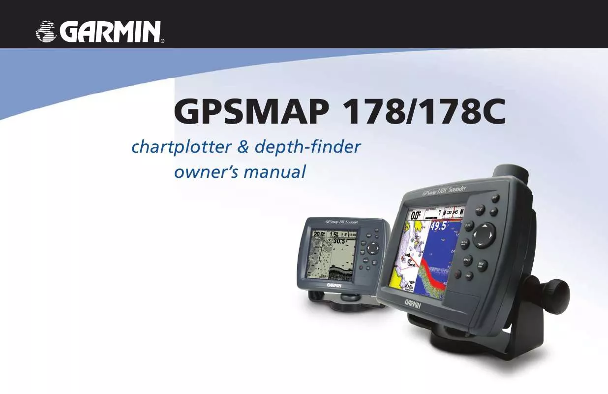
User manual GARMIN GPSMAP 178
Lastmanuals offers a socially driven service of sharing, storing and searching manuals related to use of hardware and software : user guide, owner's manual, quick start guide, technical datasheets... DON'T FORGET : ALWAYS READ THE USER GUIDE BEFORE BUYING !!!
If this document matches the user guide, instructions manual or user manual, feature sets, schematics you are looking for, download it now. Lastmanuals provides you a fast and easy access to the user manual GARMIN GPSMAP 178. We hope that this GARMIN GPSMAP 178 user guide will be useful to you.
Lastmanuals help download the user guide GARMIN GPSMAP 178.
You may also download the following manuals related to this product:
Manual abstract: user guide GARMIN GPSMAP 178
Detailed instructions for use are in the User's Guide.
[. . . ] GPSMAP 178/178C
chartplotter & depth-finder owner's manual
© Copyright 2004 Garmin Ltd. or its subsidiaries
Garmin International, Inc. 1200 East 151st Street, Olathe, Kansas 66062, U. S. A. 913/397. 8200 or 800/800. 1020 Fax 913/397. 8282
Garmin (Europe) Ltd. [. . . ] On the `Save Back Through' window, highlight the desired time, date, or `Entire Log' and press ENTER. Next, the track begins saving and then display the `Saved Track' window when done. The default name, distance, and number of points (700 maximum) are displayed. To change the name of the saved track, highlight the name field and press ENTER, make your changes and press ENTER again. To choose a color that is used to display the saved track line, highlight the field and press ENTER, choose a Color and press ENTER again. To display the track on the Map and Highway pages, highlight the check box to the left of `Show on Map and Highway' and press ENTER. To view the track on the map, highlight `Review on Map' and press ENTER. Press QUIT to exit the Track Map window. Highlight `OK' and press ENTER to save the track.
Reference TracBack Navigation
Default Track name Total Distance Change color of track line Check this box to display track Total number of points
To activate a TracBack using the NAV key:
1. Press the NAV key, then highlight the `Follow Track' option and press ENTER. Highlight the track you wish to follow and press ENTER. Choose either `Original', which navigates you from the start to the end of your trip, or `Reverse', which navigates you from the end to the start of your trip and press ENTER.
Once a TracBack has been activated, the GPSMAP 178/178C takes the track log currently stored in memory and divides it into segments called `legs'. Up to 50 temporary `turns' (BEGIN, TURN 1, TURN 2, TURN 3, . . . . , TURN X, END) are created to mark the most significant features of the track log in order to duplicate your exact path as closely as possible. To get the most out of the TracBack feature, remember the following tips: · Always clear the track log at the point that you want to go back to (dock, etc. ). · The `Record Mode' option on the track log setup page must be set to `Fill' or `Wrap'. · There must be at least two track log points stored in memory to create a TracBack route.
You must first save a track before using the `Follow Track' option. If there are no saved tracks, the message "There are no saved Tracks to follow" appears after you select `Follow Track. '
55
Reference TracBack Navigation/ MOB: Man OverBoard
· If the track log interval is set to the `Time' option, the route may not follow your exact path (keep the interval set to `resolution' for best performance). · If the receiver is turned off or satellite coverage is lost during your trip, the TracBack draws a straight line between any point where coverage was lost and where it resumed. · If your track log's changes in distance and direction are too complex, 50 waypoints may not mark your path accurately. The receiver then assigns the 50 waypoints to the most significant points of your track, and simplifies segments with fewer changes in direction.
To stop TracBack navigation:
1. Press the NAV key, highlight `Stop Navigation' and press ENTER.
For more information on setting up the Track options and saved tracks, see page 75.
MOB Key
The MOB function allows you to quickly activate a course back to a location.
The GPSMAP 178/178C's Man Over Board function (MOB) lets you simultaneously mark and set a course to a position for quick response to emergency situations.
To activate the MOB function:
1. Press and hold the MOB key for two seconds. [. . . ] Thermoclines are shown as the weakest colors (see pg. 14).
Appendix G Understanding the Graph
Thermocline
115
Appendix H Specifications
Physical Specifications
4. 9" H x 6. 3" W x 3. 7" D (122. 5mm x 157. 5mm x 92. 5mm) 1. 0 lb 3. 5oz. (. 553Kg) (178C) 3. 2" W x 3. 2" H (81. 28mm) CSTN (Color Super Twist Nematic) with adjustable CCFL (Cold Cathode Fluorescent Lamp) backlighting; (320x320 pixels) (178) . 3. 2" W x 3. 2" H (81. 6 mm) 10 level grayscale FSTN (Film Super Twist Nematic) with adjustable CCFL (cold cathode) backlighting; (320x320 pixels) Case: Fully gasketed, high-impact plastic alloy, waterproof to IEC 60529-IPX-7 Temp. Range: 5°F to 158°F (-15°C to 55°C)
Performance
Receiver: Differential-ready 12 parallel channel WAAS capable receiver Acquisition Times: Warm: Approx. [. . . ]
DISCLAIMER TO DOWNLOAD THE USER GUIDE GARMIN GPSMAP 178 Lastmanuals offers a socially driven service of sharing, storing and searching manuals related to use of hardware and software : user guide, owner's manual, quick start guide, technical datasheets...manual GARMIN GPSMAP 178


 GARMIN GPSMAP 178 (4901 ko)
