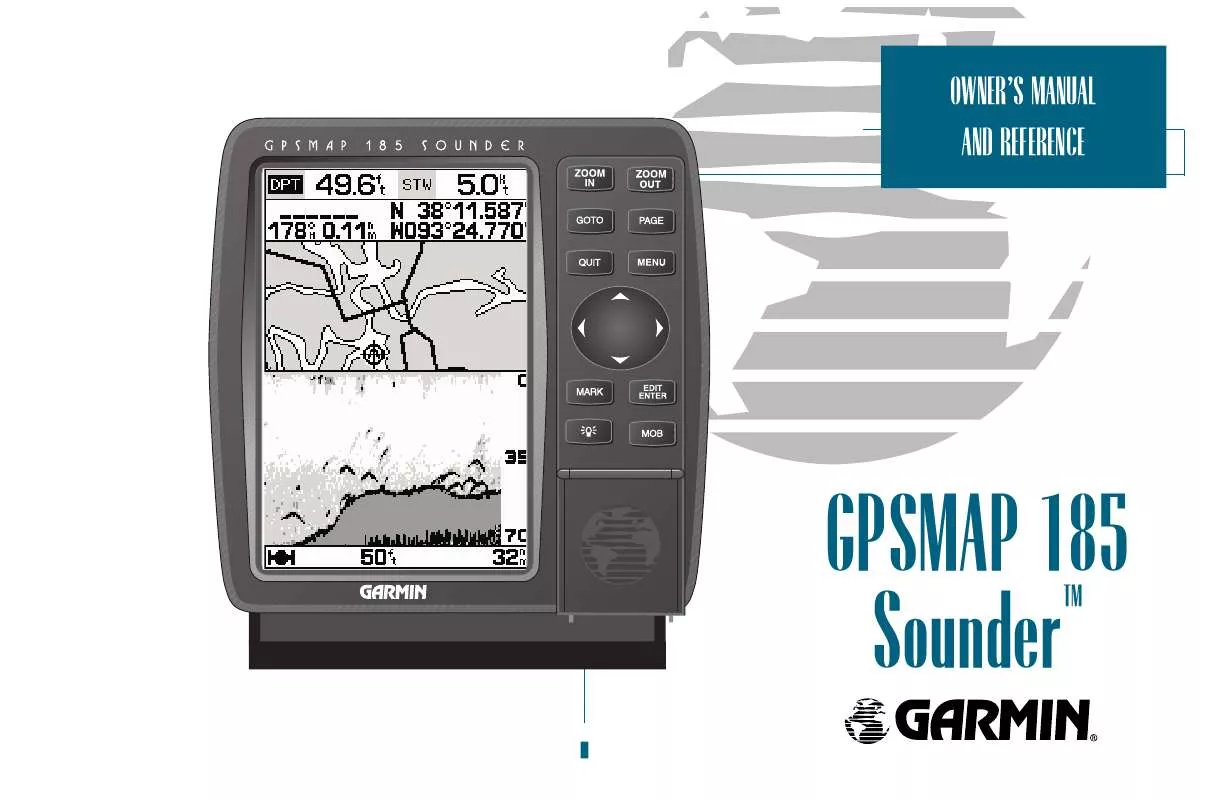
User manual GARMIN GPSMAP 185 SOUNDER
Lastmanuals offers a socially driven service of sharing, storing and searching manuals related to use of hardware and software : user guide, owner's manual, quick start guide, technical datasheets... DON'T FORGET : ALWAYS READ THE USER GUIDE BEFORE BUYING !!!
If this document matches the user guide, instructions manual or user manual, feature sets, schematics you are looking for, download it now. Lastmanuals provides you a fast and easy access to the user manual GARMIN GPSMAP 185 SOUNDER. We hope that this GARMIN GPSMAP 185 SOUNDER user guide will be useful to you.
Lastmanuals help download the user guide GARMIN GPSMAP 185 SOUNDER.
You may also download the following manuals related to this product:
Manual abstract: user guide GARMIN GPSMAP 185 SOUNDER
Detailed instructions for use are in the User's Guide.
[. . . ] OWNERS MANUAL AND REFERENCE
GPSMAP 185 Sounder
TM
© 1999 GARMIN Corproation Garmin International, Inc. , 1200 E. 151st Street, Olathe, KS 66062 USA Tel: 913-397-8200 FAX: 913-397-8282 Garmin (Europe) Ltd. , Unit 5, The Quadrangle, Abbey Park Industrial Estate, Romsey SO51 9AQ UK Tel: 011-44-1794-519944 FAX: 011-44-1794-519222 Garmin (Asia) Corp. , 3F, No. 1, Lane 45, Pao Hsing Road, Hsin Tien, Taipei, Taiwan R. O. C. Tel: 011-886-02-2917-4107 FAX: 011-886-02-2917-1758
Software Version 4. 02 or above Internal Database Version 3. 00 Micro G-chartTM cartridge data is copyrighted by Navionics Corporation and GARMIN Corporation and may not be copied or used for any other purpose without permission. [. . . ] If you are navigating a route, the navigation page will show each route waypoint in sequence, with the active leg indicated by the white portion of the highway. Nearby waypoints not in the active route will also be displayed. The highway perspective scale may also be zoomed in or out to display a larger or smaller view of the highway. Five settings are available from 1/4 to 4 nm, with a default setting of 1/4 nm.
To change the highway perspective scale:
1. Press the C or D key to select the desired setting.
Navigation Page Options The GPSMAP 185 Sounders navigation options page allows you to define the nav data fields and select what waypoints are displayed on screen.
To display the navigation page options:
1. Press O.
To select a menu option: 46
1. Highlight the desired option and press T.
The following options are available for the navigation page:
Change Data Fields?allows you to define the data displayed in any of the six user-selectable data fields. Thirteen data options are available:
BRG SOG ETE XTK CTS DIS COG ETA VMG DPT STW TMP TRN
NAVIGATION PAGE
Options
SECTION
5
To change a data field:
1. Highlight the field you want to change and press T. Select the desired data field option and press T.
Configure Highway?allows you to select what waypoints are shown on the highway display. Four options are available: Nav & Nearest Waypoints all route and nearest waypoints displayed Nav Waypoints only waypoints in the active route will be displayed Active Waypoint only the active waypoint will be displayed No Waypoints no waypoints will be displayed To configure the highway display:
1. resets all navigation page options to the factory settings.
A
B A. Thirteen data options are available for each data field on the navigation page. The digital crosstrack error option is especially useful to display the exact distance you are off course in feet/miles or meters. To select what waypoints appear on the graphic highway, highlight the desired setting and press EDIT/ENTER.
Setup Simulator?allows you to define simulator speed, course, altitude, depth, and position values . See pages 4-19 for more details on using simulator mode. allows you to reset automatic steering while simulating navigation and cancel any course adjustments made with the R keypad.
47
SECTION
6
MAIN MENU PAGE
Overview
Main Menu Page The GPSMAP 185 Sounders main menu page provides access to various waypoint, system, navigation and interface management and setup menus. The main menu page is available from any page in the GPSMAP 185 Sounders system, and is accessed through the O key.
A
B A. The waypoint category options on the main menu page are described in the Waypoints section on pages 55-59. [. . . ] GridA coordinate system that projects the earth on a flat surface, using square zones for position measurements. Ground Speed (SOG)The velocity you are traveling relative to a ground position. LatitudeA north/south measurement of position perpendicular to the earths polar axis. LongitudeAn east/west measurement of position in relation to the Prime Meridian, an imaginary circle that passes through the north and south poles. [. . . ]
DISCLAIMER TO DOWNLOAD THE USER GUIDE GARMIN GPSMAP 185 SOUNDER Lastmanuals offers a socially driven service of sharing, storing and searching manuals related to use of hardware and software : user guide, owner's manual, quick start guide, technical datasheets...manual GARMIN GPSMAP 185 SOUNDER


 GARMIN GPSMAP 185 SOUNDER (3986 ko)
