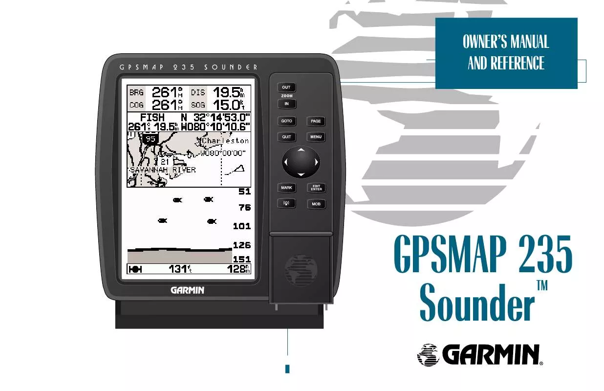
User manual GARMIN GPSMAP 235 SOUNDER
Lastmanuals offers a socially driven service of sharing, storing and searching manuals related to use of hardware and software : user guide, owner's manual, quick start guide, technical datasheets... DON'T FORGET : ALWAYS READ THE USER GUIDE BEFORE BUYING !!!
If this document matches the user guide, instructions manual or user manual, feature sets, schematics you are looking for, download it now. Lastmanuals provides you a fast and easy access to the user manual GARMIN GPSMAP 235 SOUNDER. We hope that this GARMIN GPSMAP 235 SOUNDER user guide will be useful to you.
Lastmanuals help download the user guide GARMIN GPSMAP 235 SOUNDER.
You may also download the following manuals related to this product:
Manual abstract: user guide GARMIN GPSMAP 235 SOUNDER
Detailed instructions for use are in the User's Guide.
[. . . ] OWNER'S MANUAL AND REFERENCE
GPSMAP 235 Sounder
TM
Software Version 4. 01 or above Internal Database Version 3. 00 © GARMIN Corporation G-chart TM cartridge data is copyrighted by Navionics Corporation and GARMIN Corporation and may not be copied or used for any other purpose without permission. © 1999 GARMIN Corporation GARMIN International, Inc. 151st Street, Olathe, KS 66062, USA Tel: 913. 397. 8200 or 1. 800. 800. 1020 Website: www. garmin. com GARMIN (Europe) Ltd. Unit 5, The Quadrangle, Abbey Park Industrial Estate, Romsey, SO51 9AQ, UK Tel: 011. 44. 1794. 519944 GARMIN (Asia) Corp. [. . . ] · Active Waypoint: Only the active waypoint will be displayed. · No Waypoints: No waypoints will be displayed. Highlight the `Configure Highway?' option and press T. · Restore Defaults?: Resets all Navigation Page options to their factory settings.
A
B A. Thirteen data options are available for each data field on the Navigation Page. The digital crosstrack error option is especially useful to display the exact distance you are off course in feet/miles or meters. To select what waypoints appear on the graphic highway, highlight the desired setting and press EDIT/ENTER.
· Setup Simulator?: Allows you to define simulator speed, course, altitude, depth, and position values. See page 13 for more details on using the simulator mode. · Auto COG?: Allows you to reset automatic steering while simulating navigation and cancels any course adjustments made with the R keypad.
51
SECTION
6
GETTING STARTMAIN MENU PAGE ED
Overview Using the GOTO Key
Main Menu Page The main menu page provides access to various waypoint, system, navigation and interface management and setup menus.
To access the main menu page from any page in the sounder:
1. The waypoint category options on the main menu page are described in the waypoints section on pages 59-62. The routes category options are described on pages 66-69.
The 11 submenus are divided into categories by function.
To select a submenu from the main menu page:
1. Highlight the submenu you want to view and press T.
For specific instructions on using a submenu, see the waypoints, route or setup sections of this manual.
52
Creating and Using Waypoints The sounder stores up to 250 alphanumeric waypoints with user-defined symbols and comments available for each waypoint. Waypoints can be created using one of the following methods: · Mark Key: Although used primarily for marking your present position, the M key also provides options that allow you to select a map or navaid position from the map display. · Graphically: Allows you to define a new waypoint position from the map or Sounder Page using the cursor. · Text Entry: Allows you to enter a new waypoint's position coordinates manually (from a chart, etc. ) or by referencing it's bearing and distance from a stored waypoint or your present position. Mark Key The M key lets you quickly capture your present position, cursor or navaid position in order to create a new waypoint. You must have a valid position fix to mark your present position.
To mark your present position:
1. The mark position page will appear, with a default three-digit name for the new waypoint. To accept the waypoint with the default name, symbol and comment (the depth at the waypoint's position), press T to confirm the `Done?' prompt. To enter a different name, symbol or comment, highlight the appropriate field and press the T key. After entering and confirming your changes, move the field highlight back to the `Done?' prompt and press T.
GETTING STARTWAYPOINTS ED Creating Waypoints and
Using MARK Key the the GOTO Key
SECTION
7
A
B A. The mark key is used primarily to mark your present position, but it can also be used to mark the cursor or a navaid position on the Map Page. [. . . ] Longitude: An east/west measurement of position in relation to the Prime Meridian, an imaginary circle that passes through the north and south poles. Position: An exact, unique location based on a geographic coordinate system. Sensitivity: A measure of how sensitive the sounder is to sonar echoes. Speed Through Water (STW): The speed you are traveling relative to the water's surface.
APPENDIX
Glossary
SECTION
E
103
Thermocline-- A layer of water separating warmer water above from cooler water below.
SECTION
E
APPENDIX
Glossary
Turn (TRN)-- The difference and direction in degrees between the bearing to your destination and your course over ground. [. . . ]
DISCLAIMER TO DOWNLOAD THE USER GUIDE GARMIN GPSMAP 235 SOUNDER Lastmanuals offers a socially driven service of sharing, storing and searching manuals related to use of hardware and software : user guide, owner's manual, quick start guide, technical datasheets...manual GARMIN GPSMAP 235 SOUNDER


 GARMIN GPSMAP 235 SOUNDER (1444 ko)
