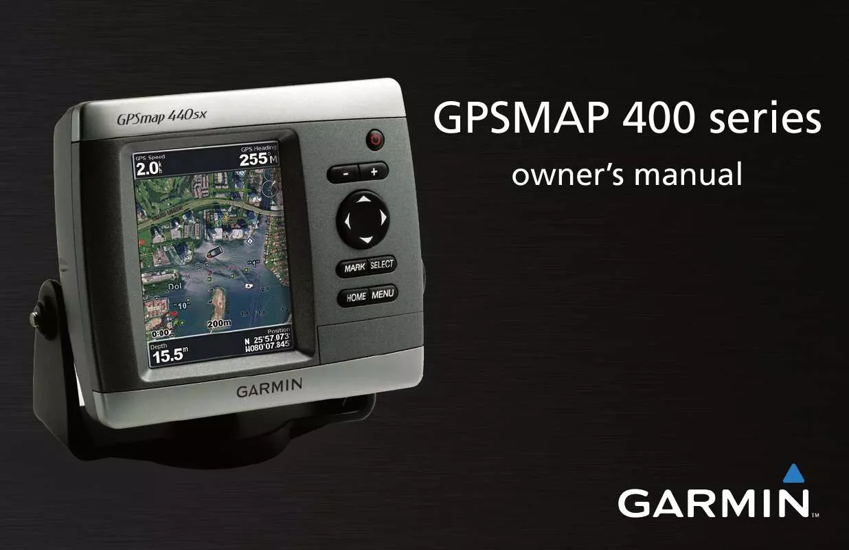
User manual GARMIN GPSMAP 420S
Lastmanuals offers a socially driven service of sharing, storing and searching manuals related to use of hardware and software : user guide, owner's manual, quick start guide, technical datasheets... DON'T FORGET : ALWAYS READ THE USER GUIDE BEFORE BUYING !!!
If this document matches the user guide, instructions manual or user manual, feature sets, schematics you are looking for, download it now. Lastmanuals provides you a fast and easy access to the user manual GARMIN GPSMAP 420S. We hope that this GARMIN GPSMAP 420S user guide will be useful to you.
Lastmanuals help download the user guide GARMIN GPSMAP 420S.
You may also download the following manuals related to this product:
Manual abstract: user guide GARMIN GPSMAP 420S
Detailed instructions for use are in the User's Guide.
[. . . ] GPSMAP 400 series
owner's manual
© 2007 Garmin Ltd. or its subsidiaries Garmin International, Inc. 1200 East 151st Street, Olathe, Kansas 66062, USA Tel. (913) 397. 8200 or (800) 800. 1020 Fax (913) 397. 8282 Garmin (Europe) Ltd. [. . . ] DSC--turn DSC (Digital Selective Calling) on or off.
NOTE: ToconfigureAISorDSCinformationforotherboats, your unit must be connected to an external AIS or DSC device. See page 30 for more information.
Safe Zone--turn a safe zone around your boat on or off. This is used for collision avoidance, and can be customized: · Ring--show or hide a ring on the map showing the safe zone for your boat. · Range--change the measured radius of the safe zone ring to a specifieddistancefrom0. 1to2. 0nm(or. 02to5. 0km, or0. 1 to 2. 0 mi). · Time to--sounds an alarm if AIS determines that a target willintersecttheSafeZonewithinthedefinedtimeinterval (ranging from 3 to 24 minutes).
34
GPSMAP® 400 Series Owner's Manual
uSInG Sonar
usInG sonar
When connected to a transducer, your unit becomes a powerful fishfinder/flasher. Ifyourunitdoesnothaveabuilt-insounder, you can connect a Garmin GSD 21 or GSD 22 sounder module to your unit to use the sonar features.
Understanding the Flasher
Understanding the Full Screen
The Flasher screen (dual beam transducer only) provides an almost instantaneous return of what is below your boat. The depth scale is organized as a ring that starts at the top, or 12:00, and progresses clockwise. Sonarinformationflashesontheringwhenitisreceived at the depth indicated on the inside ring. Like the regular graph, the colors indicate different strengths of the sonar return. Toopentheflasher, fromtheHomescreen, select Sonar > Flasher.
Water Temp Flasher ring Depth
Select the Full Screen option to view a full-screen graph of the transducer's sonar readings. From the Home screen, select Sonar > Full Screen.
Depth Temperature Speed Suspended targets
Range Water speed
Transducer frequency or beam width GPSMAP® 400 Series Owner's Manual
3
uSInG Sonar
Understanding the Split Freq Screen
Use the Split Freq screen (dual frequency transducer only) to view both the 50kHz and 200kHz frequencies on the same screen. A 50kHz frequency graph appears on the left; a 200kHz frequency graph appears on the right. To open the Split Freq screen, from the Home screen, select Sonar > Split Freq.
Depth, temperature, and speed
Understanding The Split Zoom Screen
From the Home screen, select Sonar > Split Zoom.
Depth, temperature, and speed
Use the Split Zoom screen to view the full sonar data from the graph and a zoomed in portion on the same screen.
Zoomed depth scale Range Zoom level
Zoom window
Range
Transducer frequency or beam width Frequencies 3 GPSMAP® 400 Series Owner's Manual
uSInG Sonar
Understanding the Temp Log Screen
If you are using a temperature-capable transducer, the Temp Log screen keeps a graphic log of temperature readings over time. The current temperature and depth are shown in the top-left corner. From the Home screen, select Sonar > Temp Log.
Temp and depth
Setting Up Sonar
UsetheSonarSetupscreentodefineandadjustsettingsuniversalto all sonar screens. From the Home screen, select Sonar > Sonar Setup. This affects the background on all sonar screens, but does not change the Temp Log screen. Fish Symbols--set how the sonar interprets suspended targets. The unit does not interpret the sonar return data (default).
Time elapsed
Temp range
Suspended targets appear as symbols. Background sonar informationappears, makingthedistinctionbetweenfish and structure easier. Suspended targets appear as symbols with background information shown. The target depth of each symbol is also indicated. Suspended targets appear as symbols with no background information shown. The target depth of each symbol is indicated.
3
The temperature appears along the right side and the time elapsed appears along the bottom. [. . . ] (913) 397-8200 or Southampton, Hampshire, SO40 9RB UK (800) 800-1020 Tel. +44 (0) 870. 8501241 (outside the UK) Fax (913) 397-8282 0808. 2380000 (within the UK) Fax +44 (0) 870. 8501251 Garmin Corporation No. 68, Jangshu 2nd Road, Shijr, Taipei County, Taiwan Tel. 886/2. 2642. 9199 Fax 886/2. 2642. 9099
appendIx
FCC Compliance
This product has been tested and found to comply with Part 15 of the FCC interference limits for Class B digital devices FOR HOME OR OFFICE USE. [. . . ]
DISCLAIMER TO DOWNLOAD THE USER GUIDE GARMIN GPSMAP 420S Lastmanuals offers a socially driven service of sharing, storing and searching manuals related to use of hardware and software : user guide, owner's manual, quick start guide, technical datasheets...manual GARMIN GPSMAP 420S


 GARMIN GPSMAP 420S Quick Reference (902 ko)
 GARMIN GPSMAP 420S QUICK REFERENCE GUIDE (743 ko)
 GARMIN GPSMAP 420S INSTALLATION INSTRUCTIONS (2577 ko)
 GARMIN GPSMAP 420S QUICK REFERENCE GUIDE REV. A, MAY, 2007 (902 ko)
 GARMIN GPSMAP 420S DECLARATION OF CONFORMITY REV. A, FEB, 2007 (17 ko)
 GARMIN GPSMAP 420S FLUSH MOUNT KIT INSTRUCTIONS AND TEMPLATE (MULTILINGUAL) REV. C, APR, 2007 (972 ko)
