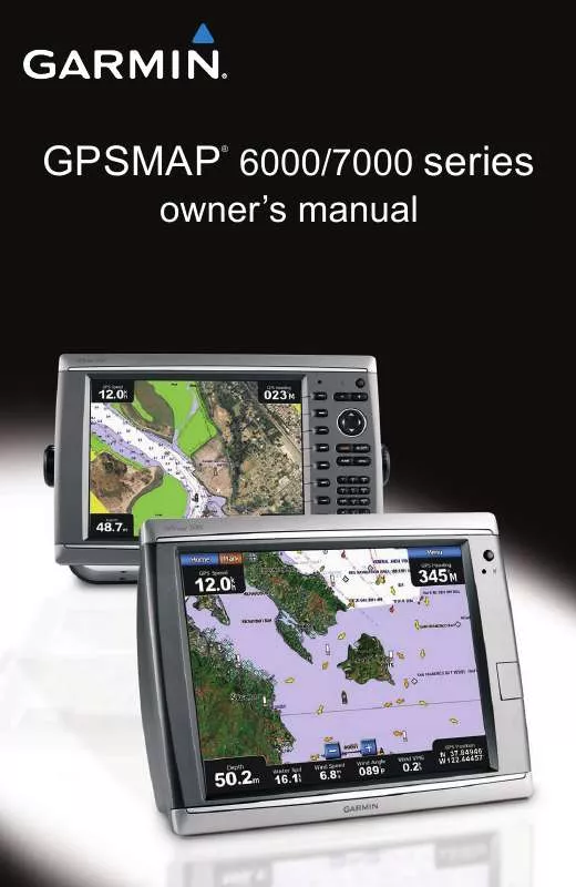
User manual GARMIN GPSMAP 6212
Lastmanuals offers a socially driven service of sharing, storing and searching manuals related to use of hardware and software : user guide, owner's manual, quick start guide, technical datasheets... DON'T FORGET : ALWAYS READ THE USER GUIDE BEFORE BUYING !!!
If this document matches the user guide, instructions manual or user manual, feature sets, schematics you are looking for, download it now. Lastmanuals provides you a fast and easy access to the user manual GARMIN GPSMAP 6212. We hope that this GARMIN GPSMAP 6212 user guide will be useful to you.
Lastmanuals help download the user guide GARMIN GPSMAP 6212.
You may also download the following manuals related to this product:
Manual abstract: user guide GARMIN GPSMAP 6212
Detailed instructions for use are in the User's Guide.
[. . . ] GPSMAP 6000/7000 series
®
owner's manual
© 2010 Garmin Ltd. or its subsidiaries Garmin International, Inc. 1200 East 151st Street, Olathe, Kansas 66062, USA Tel. (913) 397. 8200 or (800) 800. 1020 Fax (913) 397. 8282 Garmin (Europe) Ltd. [. . . ] Select Done.
Coordinate Systems
Setting the Position Format or the Map Datum Coordinate Systems
You can set the position format in which a given location reading appears, and the coordinate system on which the map is structured. The default coordinate system is WGS 84. Note: Do not change the position format or the map datum coordinate system unless you are using a map or chart that specifies a different position format. From the Home screen, select Configure > Preferences > Units. Complete an action: · Select Position Format to set the position format in which a given location reading appears, and select a position format. · Select Map Datum to set the coordinate system on which the map is structured, and select a coordinate system.
Configuring the Time
1. From the Home screen, select Configure > Preferences > Units > time. Complete an action: · Select time Format to set a time-keeping standard. Select 12 Hour, 24 Hour, or UtC (universal time coordinate). · Select time Zone > Auto to allow the chartplotter to set the time zone automatically.
GPSMAP® 6000/7000 Series Owner's Manual
6
Device Configuration
· Select time Zone > Custom to set the time zone manually. For the GPSMAP 6000 series, use the Rocker or the Numeric Keypad to enter the time zone hour adjustment. For the GPSMAP 7000 series, use the on-screen keyboard. Select Up, Down, or Auto.
Units of Measure
You can set the units of measure the chartplotter shows, using a standardized system of measurements or creating a customized system of measurements. From the Home screen, select Configure > Preferences > Units > System Units. Select Statute (mh, ft, ºF), Metric (kh, m, ºC), or Nautical (kt, ft, ºF).
Creating a Customized System of Measurement Selecting a Standardized System of Measurement
You must be receiving NMEA Sonar depth data or using a Garmin sounder module in order to view depth and temperature information. You can select individual units of measure to create a customized system of measurement for your chartplotter display. From the Home screen, select Configure > Preferences > Units > System Units > Custom. Complete an action: · Select Depth, and select Feet, Fathoms, or Meters. · Select temperature, and select Fahrenheit or Celsius. · Select Distance, and select Miles, Kilometers, Nautical (nm, ft) or Nautical (nm, m). · Select Speed > Vessel Speed, and select Miles per Hour, Kilometers per Hour, or Knots. · Select Speed > Wind Speed, and select Miles per Hour, Meters per Sec, or Knots. [. . . ] · Select Auto to allow the chartplotters on the network to negotiate with each other to determine which chartplotter will perform this function. Only one chartplotter on the network can bridge NMEA 0183 data over the NMEA 2000 bus at a time. All GPSMAP 6000 series and 7000 series units are NMEA 2000 certified.
GPSMAP® 6000/7000 Series Owner's Manual
Appendix
Product Registration
Help us better support you by completing our online registration today. Keep the original sales receipt, or a photocopy, in a safe place.
Contact Garmin
Contact Garmin Product Support if you have any questions while using your chartplotter. [. . . ]
DISCLAIMER TO DOWNLOAD THE USER GUIDE GARMIN GPSMAP 6212 Lastmanuals offers a socially driven service of sharing, storing and searching manuals related to use of hardware and software : user guide, owner's manual, quick start guide, technical datasheets...manual GARMIN GPSMAP 6212


 GARMIN GPSMAP 6212 (3829 ko)
 GARMIN GPSMAP 6212 INSTRUCTIONS (396 ko)
 GARMIN GPSMAP 6212 CONFIGURATION GUIDE (412 ko)
 GARMIN GPSMAP 6212 CONFIGURATION GUIDE (412 ko)
 GARMIN GPSMAP 6212 QUICK REFERENCE GUIDE (855 ko)
 GARMIN GPSMAP 6212 QUICK REFERENCE GUIDE (855 ko)
 GARMIN GPSMAP 6212 INSTALLATION INSTRUCTIONS (3228 ko)
 GARMIN GPSMAP 6212 INSTALLATION INSTRUCTIONS (4153 ko)
