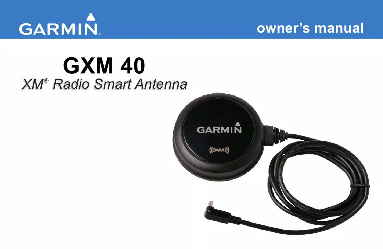
User manual GARMIN GXM 40
Lastmanuals offers a socially driven service of sharing, storing and searching manuals related to use of hardware and software : user guide, owner's manual, quick start guide, technical datasheets... DON'T FORGET : ALWAYS READ THE USER GUIDE BEFORE BUYING !!!
If this document matches the user guide, instructions manual or user manual, feature sets, schematics you are looking for, download it now. Lastmanuals provides you a fast and easy access to the user manual GARMIN GXM 40. We hope that this GARMIN GXM 40 user guide will be useful to you.
Lastmanuals help download the user guide GARMIN GXM 40.
Manual abstract: user guide GARMIN GXM 40
Detailed instructions for use are in the User's Guide.
[. . . ] owner's manual
XM ® Radio Smart Antenna
GXM 40
© 2008 Garmin Ltd. or its subsidiaries Garmin International, Inc. 1200 East 151st Street, Olathe, Kansas 66062, USA Tel. (913) 397. 8200 or (800) 800. 1020 Fax (913) 397. 8282 Garmin (Europe) Ltd. [. . . ] NEXRAD can be displayed independently or with a variety of other weather information. For information on NEXRAD abnormalities, limitations, and intensity, see pages 3435.
NEXRAD Legend
NEXRAD GXM 40 Owner's Manual
XM WX Weather Features
Satellite Mosaic
The Satellite Mosaic feature displays infrared composite images of cloud cover taken by geostationary weather satellites, providing up to seven levels of cloud cover.
Cloud Tops Legend
Satellite Mosaic GXM 40 Owner's Manual
XM WX Weather Features
Echo Tops
Echo Tops are derived from NEXRAD radar and indicate the highest altitude at which precipitation is falling. Echo Tops at or above the altitude you select are displayed in 5, 000 foot increments up to 70, 000 feet. Echo Tops can be helpful in determining the severity of thunderstorms, where higher altitudes equate to more intense thunderstorms.
Echo Tops for All Altitudes Echo Tops at 15, 000 Ft. GXM 40 Owner's Manual
XM WX Weather Features
Surface Pressure
This feature displays pressure isobars and pressure centers. The isobars connect points of equal pressure. Pressure readings can help determine weather and wind conditions in an area. High-pressure areas generally are associated with fair weather. Low-pressure areas generally are associated with clouds and the chance of precipitation. Isobars that are packed closely together show a strong pressure gradient. Strong pressure gradients are associated with areas of stronger winds. Pressure units can be displayed in millibars (mbar), inches of mercury (inHg), and hectopascals (hPa).
Strong Pressure Gradient GXM 40 Owner's Manual
Pressure Isobars
XM WX Weather Features
Lightning
Lightning bolt icons represent lightning strikes, as shown in the image below. Lightning strikes appear on the map if strikes have been detected within the last seven minutes. The ground-based lightning detection network only detects cloud-to-ground lightning.
Lightning bolts indicate a cloud-to-ground lightning strike.
Lightning Strikes 0 GXM 40 Owner's Manual
XM WX Weather Features
Storm Cells
The Storm Cells feature displays storms and the projected path of storms in the immediate future. Marine and automotive units also show the size of the storm cell. The direction in which the red cone is pointing (from the narrow end to the wide end) indicates the projected path of the storm cell. The red bars that span the cone indicate the projected area of the storm. Aviation units show the direction of the storm with an arrow. The tip of the arrow indicates the projected location of the storm in 15 minutes. Select the storm cell with the map pointer to view critical information about the storm.
Automotive and Marine GXM 40 Owner's Manual
Aviation
XM WX Weather Features
Freezing Level
Freezing Level shows contours for the lowest forecast altitude where icing conditions are likely to occur.
Forecast
Forecast displays fronts, high- and low-pressure centers, and city conditions. The forecast can be viewed in 12-hour increments for the next 48 hours.
Forecast Map
Forecast Legend
Sunny Thunderstorms Rain Freezing Rain Snow Windy Haze Foggy Very Cold Very Hot
Freezing Level Contours
Partly Cloudy Mostly Cloudy Cloudy
GXM 40 Owner's Manual
XM WX Weather Features
Fronts
The Fronts feature displays the lines indicating the leading edge of an air mass that is replacing an existing air mass. This feature also displays pressure centers. [. . . ] This information is provided "as is" and XM and Garmin
40
disclaim any and all warranties, express and implied, with respect thereto or the transmission or reception thereof. XM and Garmin further do not warrant the accuracy, reliability, completeness or timeliness of the traffic and weather information disclosed on the Radio Service. In no event will XM and Garmin, their data suppliers, service providers, marketing/distribution, software or Internet partners or hardware manufacturers be liable to you or to any third party for any direct, indirect, incidental, consequential, special, exemplary or punitive damages or lost profits resulting from use of or interruptions in the transmission or reception of the Services.
Limits On Our Responsibility
a) DISCLAIMERS. EXCEPT AS EXPRESSLY PROVIDED HEREIN, WE MAKE NO WARRANTY OR REPRESENTATION, EITHER EXPRESS OR IMPLIED, REGARDING THE RADIO SERVICE. [. . . ]
DISCLAIMER TO DOWNLOAD THE USER GUIDE GARMIN GXM 40 Lastmanuals offers a socially driven service of sharing, storing and searching manuals related to use of hardware and software : user guide, owner's manual, quick start guide, technical datasheets...manual GARMIN GXM 40


