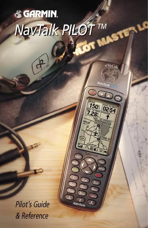
User manual GARMIN NAVTALK PILOT
Lastmanuals offers a socially driven service of sharing, storing and searching manuals related to use of hardware and software : user guide, owner's manual, quick start guide, technical datasheets... DON'T FORGET : ALWAYS READ THE USER GUIDE BEFORE BUYING !!!
If this document matches the user guide, instructions manual or user manual, feature sets, schematics you are looking for, download it now. Lastmanuals provides you a fast and easy access to the user manual GARMIN NAVTALK PILOT. We hope that this GARMIN NAVTALK PILOT user guide will be useful to you.
Lastmanuals help download the user guide GARMIN NAVTALK PILOT.
You may also download the following manuals related to this product:
Manual abstract: user guide GARMIN NAVTALK PILOT
Detailed instructions for use are in the User's Guide.
[. . . ] NavTalk PILOT TM
Pilot's Guide & Reference
© 2000 GARMIN Corporation GARMIN International, Inc. 1200 E 151st Street, Olathe, Kansas 66062 U. S. A. 913/397. 8200 or 800/800. 1020 Fax 913/397. 8282 GARMIN (Europe) Ltd. Unit 5, The Quadrangle, Abbey Park, Romsey, SO51 9AQ U. K. [. . . ] You may select which features are shown via the Map Page Options. The data window above the map displays the time and distance to next waypoint, plus your current speed (all defaults). A bearing pointer lets you know if you're heading toward your destination. If the pointer points straight ahead, you're heading directly to it. If the pointer points any direction other than up, turn toward the arrow until it points up--then continue in that direction. Each data field may be configured to display any one of thirtythree data options.
Zooming, Panning and Pointing
Map display, four data fields selected.
There are three main functions you can perform from the Map Page: zooming, panning, and pointing. The map has 23 map scales (from 120 feet to 500 miles, or 30 meters to 800 km) which are selected by pressing the IN and OUT zoom keys. The current map scale is indicated in the bottom left corner of the map display.
To change the map scale:
1. Press ZOOM IN to see a smaller area with more detail. Press ZOOM OUT to see a larger area with less detail.
Another function on the Map Page is the pan function, which allows you to move the map with the keypad in order to view areas beyond the current map.
To activate the pan function:
Zoom IN to see more detail for a smaller area. Use the ARROW keypad to move the map in any direction.
As you begin to pan on the map, an arrow appears. The point of this arrow serves as a target marker for the map. When the arrow point is placed on an object, the name of that object will be highlighted. If the name wasn't originally displayed it will appear when the pointer is placed on the object.
78
Section 6
This feature applies to airports, navaids, user-created waypoints, roads, lakes, rivers--nearly everything displayed except route lines and track log data. When a waypoint name is highlighted, you can review information about the waypoint, list waypoint options, or execute a GOTO right from the Map Page.
To select an on-screen airport or navaid with the panning pointer:
1. Use the ARROW keypad to highlight the desired item. To view additional database information about the selected item, press ENTER. To exit the information pages, press QUIT.
GPS Receiver Reference
To GOTO a highlighted waypoint:
1. With the waypoint highlighted, press #/GOTO, followed by ENTER.
The GOTO function can be used anywhere on the map. If nothing currently exists at the pointer position, a new waypoint (called `MAP') will be created at the location before the GOTO is initiated.
To cancel the pan function and re-center the map on your position:
1. Press the QUIT key.
Use the ARROW keypad to pan away from your present position. Place the pointer over an airport or navaid and press ENTER to see more information.
Map Page Options
Many features of the unit are menu driven. [. . . ] 49, 129 ZOOM Keys . . . . . . . . . . . . . . . . . . . . . . . . . . . . . . . . . . . . . . . . . . . . . . . 10 Timers, Call . . . . . . . . . . . . . . . . . . . . . . . . . . . . . . . . . . . . . . . . 51, 121
159
Appendix J Limited Warranty
GARMIN Corporation warrants this product to be free from defects in materials and manufacture for one year from the date of purchase. GARMIN will, at its sole option, repair or replace any components that fail in normal use. [. . . ]
DISCLAIMER TO DOWNLOAD THE USER GUIDE GARMIN NAVTALK PILOT Lastmanuals offers a socially driven service of sharing, storing and searching manuals related to use of hardware and software : user guide, owner's manual, quick start guide, technical datasheets...manual GARMIN NAVTALK PILOT


 GARMIN NAVTALK PILOT PILOT'S GUIDE (4179 ko)
 GARMIN NAVTALK PILOT INSTALL GUIDE (118 ko)
 GARMIN NAVTALK PILOT INSTALLATION MANUAL AIRCRAFT PROVISIONS (550 ko)
 GARMIN NAVTALK PILOT INSTALLATION MANUAL (CELLULAR ANTENNA) REV. A, MAY, 2000 (118 ko)
